MyTopo
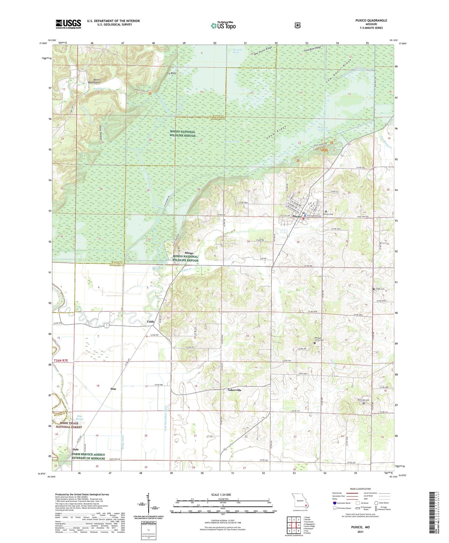
Puxico Missouri US Topo Map
Couldn't load pickup availability
Also explore the Puxico Forest Service Topo of this same quad for updated USFS data
2021 topographic map quadrangle Puxico in the state of Missouri. Scale: 1:24000. Based on the newly updated USGS 7.5' US Topo map series, this map is in the following counties: Stoddard, Wayne, Butler. The map contains contour data, water features, and other items you are used to seeing on USGS maps, but also has updated roads and other features. This is the next generation of topographic maps. Printed on high-quality waterproof paper with UV fade-resistant inks.
Quads adjacent to this one:
West: Wappapello
Northwest: Shook
North: McGee
Northeast: Sturdivant
East: Acorn Ridge
Southeast: Dudley
South: Fisk
Southwest: Rombauer
This map covers the same area as the classic USGS quad with code o36090h2.
Contains the following named places: Asherville, Bee Press Ridge, Bee Tree Cypress Spreads, Boardwalk Nature Trail, City of Puxico, Clubb Cemetery, Coal Oil Johnny Ditch, Cobb, Corinth Church, Cow Knoll Ridge, Dale, Devils Washboard, Ditch Number 10, Ditch Number 11, Ditch Number 13, Ditch Number 5, Ditch Number 6, Ditch Number 7, Ditch Number 9, Duck Creek Church, Egypt Church, Flat Mingo Creek, Fry Bluff, Hodges Ferry School, Job Corps Conservation Center, Johns Branch, Kentucky Slough, King Slough, Lepper Lake Dam, Main Dike, Mingo, Mingo Creek, Mingo National Wildlife Refuge, Mingo Wilderness, Monopoly Lake, Moons Mills, Oscar Hollow, Page School, Pleasant Grove Cemetery, Pleasant Valley Church, Pool Six, Providence Church, Puxico, Puxico Police Department, Puxico Post Office, Puxico Volunteer Fire Department, Red Mill Hunters Entrance, Red Mill Pond, Reece Post Office, Rock Hill Cemetery, Rock Hill School, Rockhouse Cypress Lake, Sand Blow Ridge, Shaw Ridge, Shoemaker School, Stanley Creek, Star, Township of Duck Creek, Turkey Creek, Union Hill School, ZIP Code: 63960


