MyTopo
Owens Missouri US Topo Map
Couldn't load pickup availability
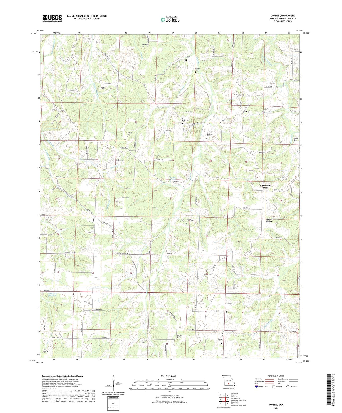
2021 topographic map quadrangle Owens in the state of Missouri. Scale: 1:24000. Based on the newly updated USGS 7.5' US Topo map series, this map is in the following counties: Wright. The map contains contour data, water features, and other items you are used to seeing on USGS maps, but also has updated roads and other features. This is the next generation of topographic maps. Printed on high-quality waterproof paper with UV fade-resistant inks.
Quads adjacent to this one:
West: Mansfield NE
Northwest: Hartville
North: Fuson
Northeast: Dawson
East: Mountain Grove North
Southeast: Mountain Grove South
South: Norwood
Southwest: Mansfield
This map covers the same area as the classic USGS quad with code o37092b4.
Contains the following named places: Blanchard School, Bruton Sinks, Carter Branch, Carter Cemetery, Carter School, Caudle Church, Caudle School, Cox Cemetery, Crossroads Store, Curtis Church, Duggan, Duggan Post Office, Duggan School, Frog Knob Cemetery, Happy Ridge Church, Jackson Cemetery, Kelly School, Kennel Cemetery, Liberty School, Moore Cemetery, Moore School, Mount Zion Cemetery, Mount Zion Church, Oak Grove Church, Owens, Owens School, Peace Valley Church, Pinchem Church, Raney Branch, Raney Cemetery, Rattlesnake Den Spring, Red Hill Church, Rock Chapel, Shaw Branch, Shaw Cemetery, Sparks Spring, Spillman Cemetery, Stony Point School, Tharpe School, Thomas Cemetery, Township of Hart, Turner Cemetery, Ussery Cemetery, Walker School


