MyTopo
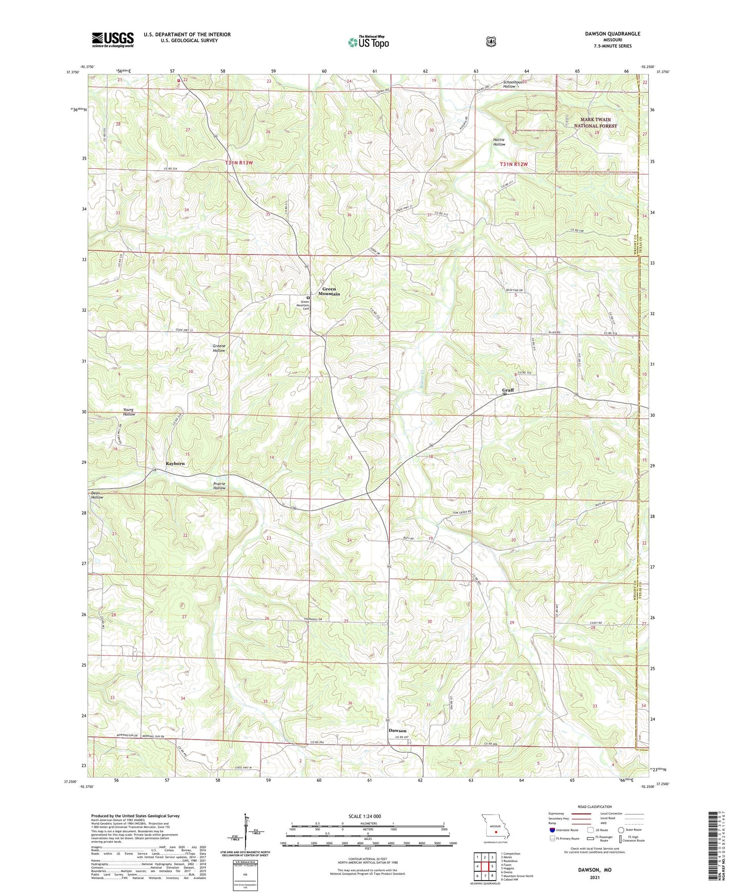
Dawson Missouri US Topo Map
Couldn't load pickup availability
Also explore the Dawson Forest Service Topo of this same quad for updated USFS data
2021 topographic map quadrangle Dawson in the state of Missouri. Scale: 1:24000. Based on the newly updated USGS 7.5' US Topo map series, this map is in the following counties: Wright, Texas. The map contains contour data, water features, and other items you are used to seeing on USGS maps, but also has updated roads and other features. This is the next generation of topographic maps. Printed on high-quality waterproof paper with UV fade-resistant inks.
Quads adjacent to this one:
West: Fuson
Northwest: Competition
North: Manes
Northeast: Roubidoux
East: Huggins
Southeast: Cabool NW
South: Mountain Grove North
Southwest: Owens
This map covers the same area as the classic USGS quad with code o37092c3.
Contains the following named places: Astoria School, Belly Acres Ranch Airport, Crew School, Dawson, Dawson School, Dean Hollow, Dewey School, Doolittle Creek, Ellis School, Graff, Graff Post Office, Green Forest School, Green Mountain, Green Mountain Cemetery, Hattie Hollow, Hopewell Church, Hopkins Church, Hopkins School, Lawson School, North Fork Beaver Creek, Northern Wright County Volunteer Fire Department, Pollock Creek, Prairie Hollow, Rail, Rayborn, Schoolhouse Hollow, Snyder School, Sugar Creek, Tom Branch, Township of Van Buren, Union Chapel, ZIP Code: 65660