MyTopo
Paydown Missouri US Topo Map
Couldn't load pickup availability
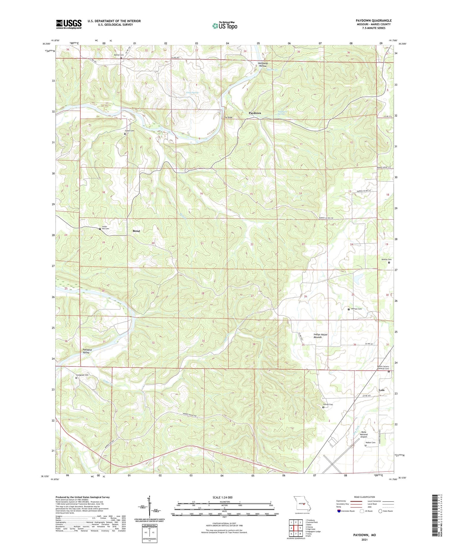
2021 topographic map quadrangle Paydown in the state of Missouri. Scale: 1:24000. Based on the newly updated USGS 7.5' US Topo map series, this map is in the following counties: Maries. The map contains contour data, water features, and other items you are used to seeing on USGS maps, but also has updated roads and other features. This is the next generation of topographic maps. Printed on high-quality waterproof paper with UV fade-resistant inks.
Quads adjacent to this one:
West: Vienna
Northwest: Freeburg
North: Summerfield
Northeast: Belle
East: High Gate
Southeast: Safe
South: Vichy
Southwest: Nagogami Lodge
Contains the following named places: Bend, Bend School, Bethel Church, Boardman Creek, Bowles Cemetery, Cairns, Cedar Creek, Divins Creek, Dover School, Ferrell Cemetery, Franklin School, Given Spring, Givens Mill, Green Cemetery, Hallaway Hollow, Henderson Ford, Indian House Mounds, Indian Paintings, Indian Village Site, Johnson Cemetery, Lindell, Lindell Church, Lois, Long Creek, Mill Spring Creek, Paradise Valley, Paydown, Paydown Club, Paydown Ford, Paydown Gasconade River Public Access, Paydown Mill, Paydown School, Paydown Springs, Rolla National Airport, Snodgrass Cemetery, Snodgrass School, Spring Creek Gap Conservation Area, Spring Creek Gap Glades Natural Area, Spring Creek Gap Roadside Park, Terrill Clay Pit, Tie Slide, Union Hill Cemetery, Union Hill Church, Vichy Army Air Field, Vichy Gap Filler Annex, Vichy Lookout Tower, Walker Cemetery, Walker School, Wolf Creek