MyTopo
Rich Hill Missouri US Topo Map
Couldn't load pickup availability
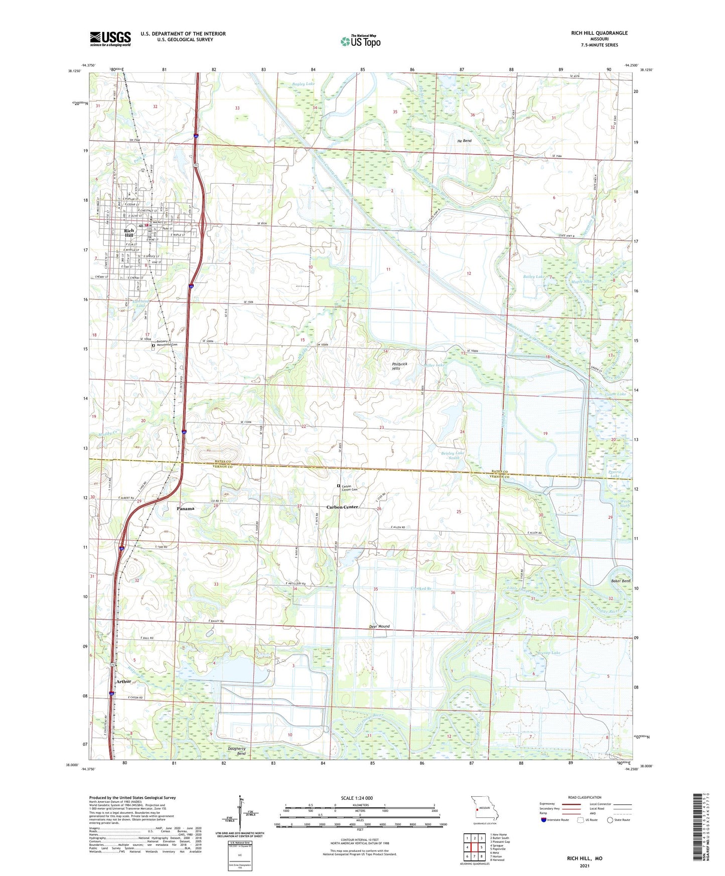
2021 topographic map quadrangle Rich Hill in the state of Missouri. Scale: 1:24000. Based on the newly updated USGS 7.5' US Topo map series, this map is in the following counties: Bates, Vernon. The map contains contour data, water features, and other items you are used to seeing on USGS maps, but also has updated roads and other features. This is the next generation of topographic maps. Printed on high-quality waterproof paper with UV fade-resistant inks.
Quads adjacent to this one:
West: Sprague
Northwest: New Home
North: Butler South
Northeast: Pleasant Gap
East: Papinville
Southeast: Harwood
South: Horton
Southwest: Metz
This map covers the same area as the classic USGS quad with code o38094a3.
Contains the following named places: Arthur, Arthur School, Back and Forth Slough, Bagley Lake, Bailey Gun Club, Bailey Lake, Baker Bend, Bee Branch, Beisley Lake - North, Beisley Lake - South, Beisley Lake North Dam, Beisley Lake South Dam, Broad Waters Muddy Creek, Carbon Center, Carbon Center Cemetery, Church of God in Christ, City of Rich Hill, Cresap Lake, Crooked Branch, Daugherty Bend, Deer Mound, Diamond School, Dollar Lake, Double Branch, Eastland Lake, Eastland Lake Dam, Eggelson Slough, Four Rivers State Wildlife Area, Goose Lake, Greencastle School, Harmony School, He Bend, Hightower Creek, Ingram Slash, Jonnum Mines, Lake Lona, Maple Slash, Miller Lake, Miller Lake Dam, Mission Branch, Muddy Creek, North Muddy School, Ovid, Ovid School, Panama, Panama School, Park Place, Philbrick Hills, Prairie Lake, Prospect Park, Rich Hill, Rich Hill Elementary School, Rich Hill Fire Department, Rich Hill High School, Rich Hill Memorial Library, Rich Hill Police Department, Rich Hill Post Office, Rich Hill School, Ripgut Prairie Natural Area, Schooley Airport, South Slash, Stone Gate School, Sycamore Branch, Township of Osage, West Slash, Willow Branch, Wolf Lake