MyTopo
Sedgewickville Missouri US Topo Map
Couldn't load pickup availability
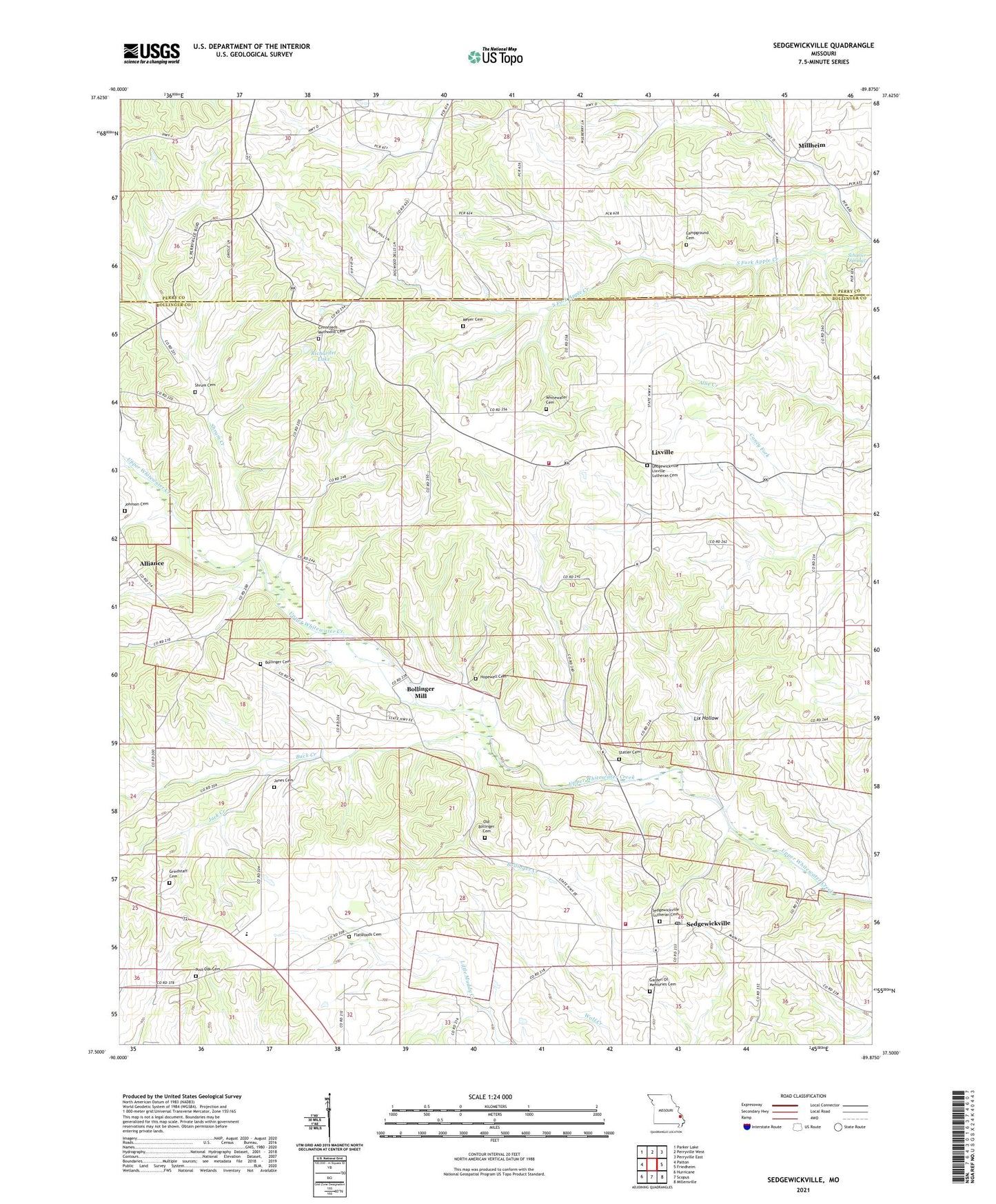
2021 topographic map quadrangle Sedgewickville in the state of Missouri. Scale: 1:24000. Based on the newly updated USGS 7.5' US Topo map series, this map is in the following counties: Bollinger, Perry. The map contains contour data, water features, and other items you are used to seeing on USGS maps, but also has updated roads and other features. This is the next generation of topographic maps. Printed on high-quality waterproof paper with UV fade-resistant inks.
Quads adjacent to this one:
West: Patton
Northwest: Parker Lake
North: Perryville West
Northeast: Perryville East
East: Friedheim
Southeast: Millersville
South: Scopus
Southwest: Hurricane
This map covers the same area as the classic USGS quad with code o37089e8.
Contains the following named places: Alliance, Alliance School, Bollinger Cemetery, Bollinger Creek, Bollinger Mill, Buck Creek, Campground Cemetery, Conrad School, Crossroads Church, Crossroads School, Flatwood School, Flatwoods Cemetery, Garner School, Grindstaff Cemetery, Hopewell Church, Jack Creek, Johnson Cemetery, Jones Cemetery, Lebanon Church, Lix Hollow, Lixville, Lukefahr School, Meadow Heights High School, Meadow Heights School, Meyer Cemetery, Millheim, Old Bollinger Cemetery, Post Oak Church, Probst School, Richardet Dam, Richardet Lake, Schumer Springs, Sedgewickville, Sedgewickville Fire Protection District Station 1, Sedgewickville Fire Protection District Station 3, Shadow Lake, Shadow Lake Dam, Shrum Cemetery, Shrum Creek, Statler Cemetery, Tiptop School, Township of Whitewater, Village of Sedgewickville, Whitewater Church, ZIP Code: 63781