MyTopo
Trenton East Missouri US Topo Map
Couldn't load pickup availability
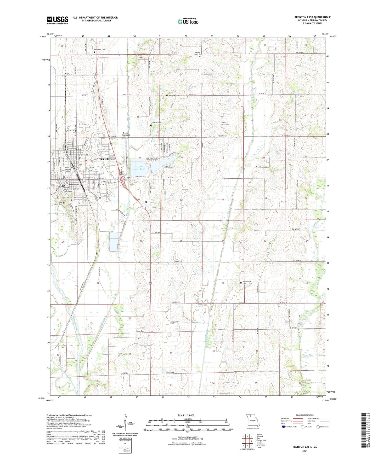
2021 topographic map quadrangle Trenton East in the state of Missouri. Scale: 1:24000. Based on the newly updated USGS 7.5' US Topo map series, this map is in the following counties: Grundy. The map contains contour data, water features, and other items you are used to seeing on USGS maps, but also has updated roads and other features. This is the next generation of topographic maps. Printed on high-quality waterproof paper with UV fade-resistant inks.
Quads adjacent to this one:
West: Trenton West
Northwest: Brimson
North: Spickard
Northeast: Galt
East: Laredo
Southeast: Chula
South: Farmersville
Southwest: Shearwood
Contains the following named places: Baker School, Beckner Branch, Belshe School, City of Trenton, County Farm Cemetery, Drummond Cemetery, Fairview Church, Grundy Center Cemetery, Grundy Center Church, Grundy Center School, Grundy County, Grundy County Home, Grundy County Rural Fire Protection District Station 1, Grundy County Sheriff's Office, Independence School, KTTN-AM (Trenton), KTTN-FM (Trenton), Lake Trenton, Lancaster Cemetery, Mack and Woodard Lake Section 35 Dam, Mount Pleasant School, Muddy Creek, Old Channel Thompson River, Old City Cemetery, Pleasant View Elementary School, Prairie View Church, Ream School, Redenbaugh Cemetery, Reed School, Resthaven Cemetery, Saint Joseph Cemetery, Section Branch, Skinner Cemetery, Skinner School, Tipton Lake Dam, Township of Trenton, Trenton, Trenton Fire Department, Trenton High School, Trenton Junction, Trenton Lower Lake, Trenton Lower Lake Dam, Trenton Middle School, Trenton Municipal Airport, Trenton Police Department, Trenton Post Office, Trenton Upper Lake, Trenton Upper Lake Dam, Wright Memorial Hospital, ZIP Code: 64683