MyTopo
Trenton West Missouri US Topo Map
Couldn't load pickup availability
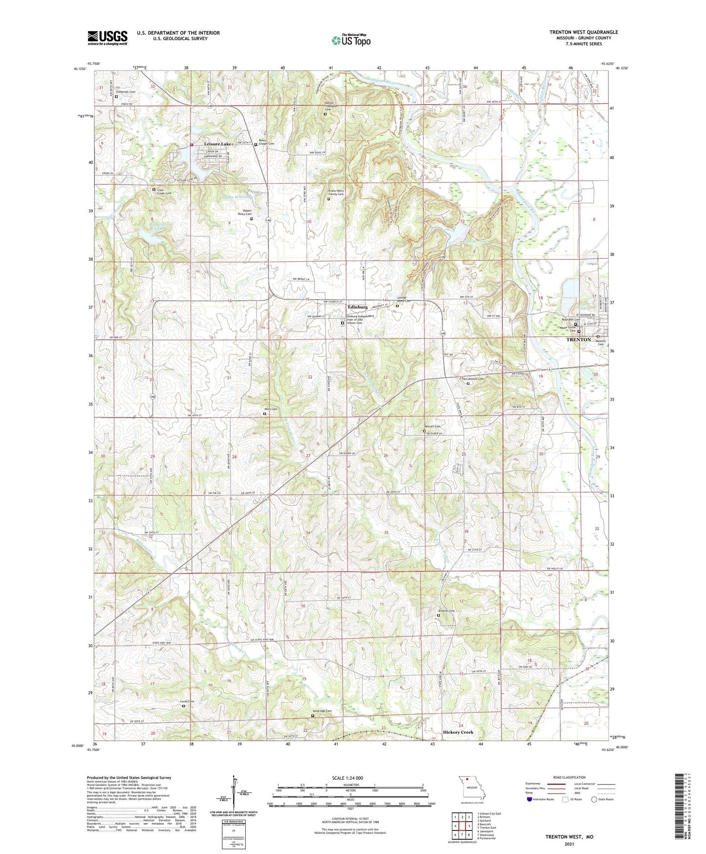
2021 topographic map quadrangle Trenton West in the state of Missouri. Scale: 1:24000. Based on the newly updated USGS 7.5' US Topo map series, this map is in the following counties: Grundy. The map contains contour data, water features, and other items you are used to seeing on USGS maps, but also has updated roads and other features. This is the next generation of topographic maps. Printed on high-quality waterproof paper with UV fade-resistant inks.
Quads adjacent to this one:
West: Bancroft
Northwest: Gilman City East
North: Brimson
Northeast: Spickard
East: Trenton East
Southeast: Farmersville
South: Shearwood
Southwest: Jamesport
This map covers the same area as the classic USGS quad with code o40093a6.
Contains the following named places: Big Oak School, Bill Seltzer Lake, Bratton Cemetery, Coon Creek Cemetery, Crowder Dam, Crowder Lake, Crowder State Park, Davis Lake Dam, Dockery Church, Doctor Thompson Cemetery, East Fork Wolf Creek, Edinburg, Edinburg - Leisure Lake - Brimson Rural Volunteer Fire Department, Edinburg Census Designated Place, Edinburg Independent Order of Odd Fellows Cemetery, Edinburg School, Estes School, Evans Peery Family Cemetery, Fulkerson Cemetery, George Peery Cemetery, Goodrich Lake Dam, Hammond Lake Dam, Lake Wittona, Lake Wittona Dam, Leisure Lake, Leisure Lake Census Designated Place, Leisure Lake Dam, Leisure Lake Dam Number 2, Lucas Cemetery, Maple Grove Cemetery, Masonic Cemetery, McCammon Cemetery, Metcalf Cemetery, Middle Creek, Mononame 574 Dam, Oakland School, Peery Chapel Cemetery, Peery School, Pine Lake, Pleasant Ridge School, Raccoon Church, Robert Peery Cemetery, Robertson School, Roselawn Cemetery, S M Rissler Elementary School, Sandridge Cemetery, Sarah Peery Cemetery, Smith School, South Oakland School, Tate School, Township of Madison, Trenton City Reservoir, Trenton Lake, Trenton Reservoir North Dam, Weldon River, West Fork Wolf Creek, Winn Cemetery, Wolf Creek, Zion Church


