MyTopo
Vanzant Missouri US Topo Map
Couldn't load pickup availability
Also explore the Vanzant Forest Service Topo of this same quad for updated USFS data
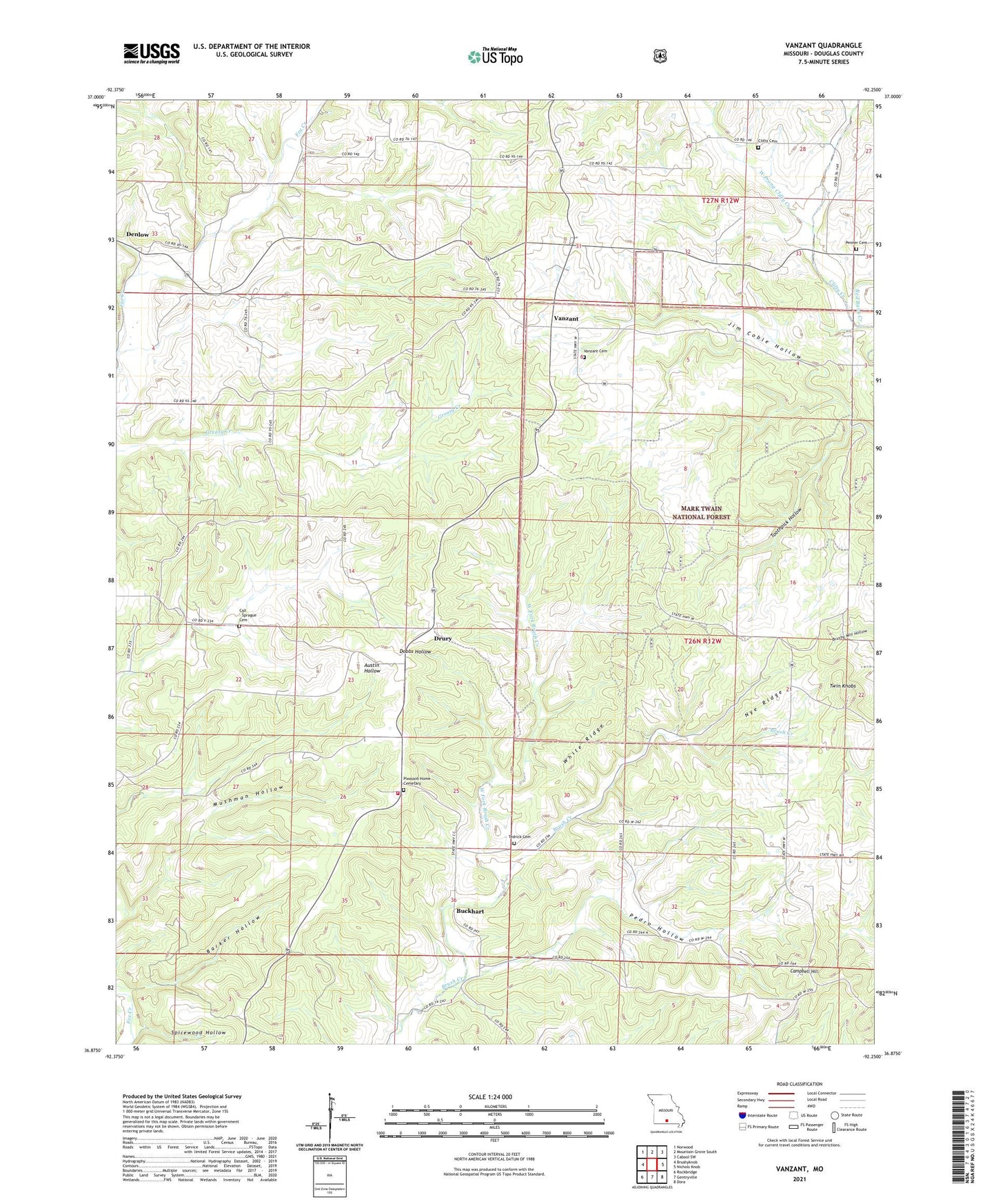
2021 topographic map quadrangle Vanzant in the state of Missouri. Scale: 1:24000. Based on the newly updated USGS 7.5' US Topo map series, this map is in the following counties: Douglas. The map contains contour data, water features, and other items you are used to seeing on USGS maps, but also has updated roads and other features. This is the next generation of topographic maps. Printed on high-quality waterproof paper with UV fade-resistant inks.
Quads adjacent to this one:
West: Brushyknob
Northwest: Norwood
North: Mountain Grove South
Northeast: Cabool SW
East: Nichols Knob
Southeast: Dora
South: Gentryville
Southwest: Rockbridge
This map covers the same area as the classic USGS quad with code o36092h3.
Contains the following named places: Bakerfield School, Barker Hollow, Buckhart, Buckhart School, Call - Sprague Cemetery, Campbell Hill, Clifty Cemetery, Clifty Hall School, Davis Roadside Park, Denlow, Denlow School, Drury, Eastern Douglas County Volunteer Fire Department Main Station, Fairview School, Holtville, Mint School, Mushman Hollow, Nye Ridge, Pedro Hollow, Penner Cemetery, Pleasant Home Church, Red Bank Creek, Spicewood Hollow, Stony Point School, Tedrick, Tedrick Cemetery, Toothpick Hollow, Township of Bryan, Township of Champion, Twin Knobs, Twin Knobs Church, Vanzant, Vanzant Cemetery, Vanzant Church, Vanzant School, Victory Church, West Fork Brush Creek, West Prong Clifty Creek, White Ridge, ZIP Code: 65768