MyTopo
Nichols Knob Missouri US Topo Map
Couldn't load pickup availability
Also explore the Nichols Knob Forest Service Topo of this same quad for updated USFS data
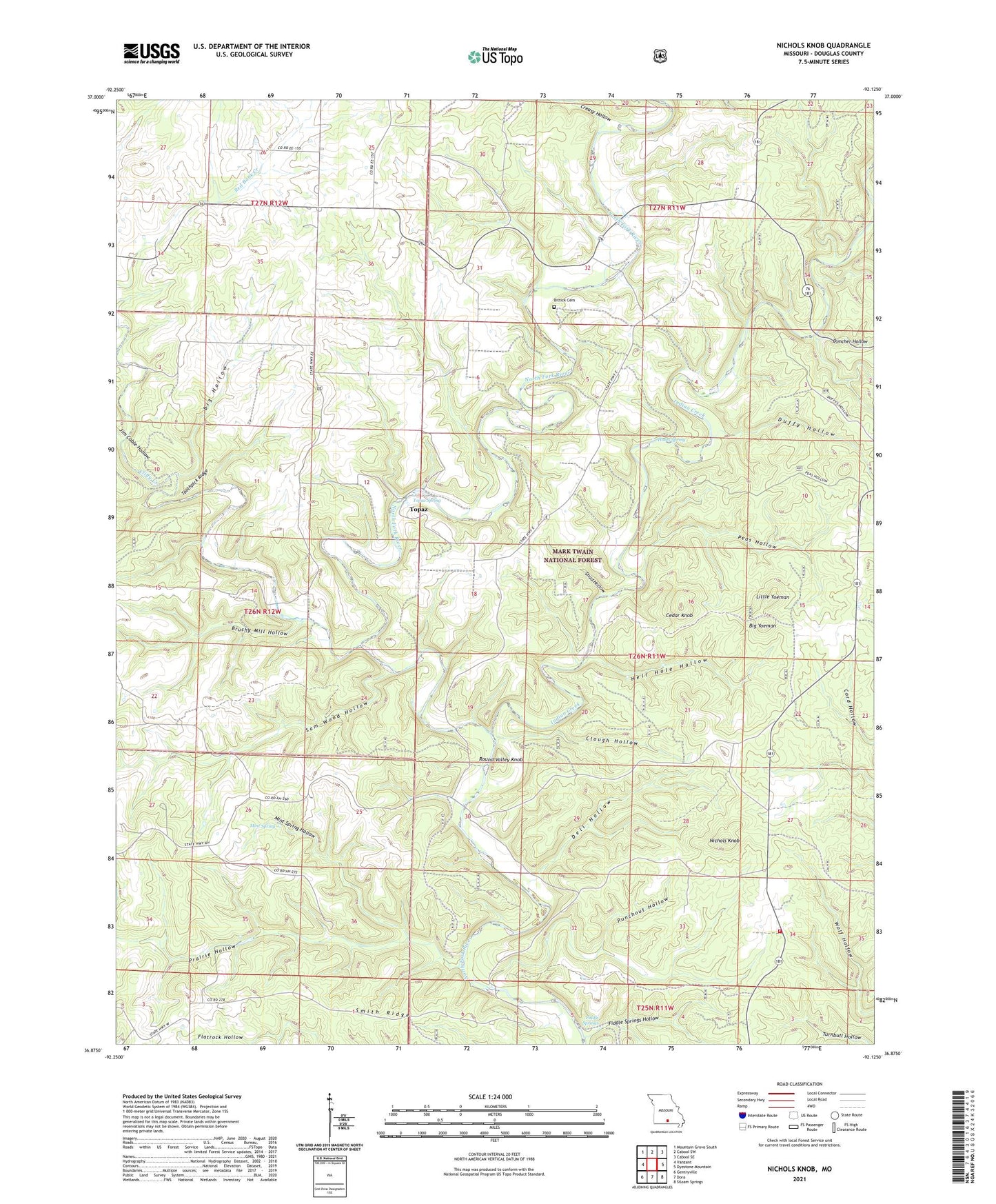
2021 topographic map quadrangle Nichols Knob in the state of Missouri. Scale: 1:24000. Based on the newly updated USGS 7.5' US Topo map series, this map is in the following counties: Douglas. The map contains contour data, water features, and other items you are used to seeing on USGS maps, but also has updated roads and other features. This is the next generation of topographic maps. Printed on high-quality waterproof paper with UV fade-resistant inks.
Quads adjacent to this one:
West: Vanzant
Northwest: Mountain Grove South
North: Cabool SW
Northeast: Cabool SE
East: Dyestone Mountain
Southeast: Siloam Springs
South: Dora
Southwest: Gentryville
This map covers the same area as the classic USGS quad with code o36092h2.
Contains the following named places: Big Hollow, Big Yoeman, Biggs, Bittick Cemetery, Brushy Mill Hollow, Cedar Knob, Clifty Creek, Clough Hollow, Coble School, Creasy Hollow, Dell Hollow, Dimcher Hollow, Duffy Hollow, E - 76 - EE Volunteer Fire Department, Fiddle Springs, Fiddle Springs Hollow, Fieldstone Church, Florilla, Florilla Post Office, Hale Crossing, Hell Hole Hollow, Holt School, Holt Store, Hoots Spring, Indian Creek, Jim Coble Hollow, Johnson School, Little Yoeman, Mainard, Mainard Post Office, Mint Spring, Mint Spring Hollow, Mount Ararat Church, Mount Ararat School, New Arlyn School, Nichols Knob, Omba Store, Osborn Crossing, Peas Hollow, Phlegeton, Phlegeton Post Office, Pleasant Home Church, Prairie Hollow, Punchout Hollow, Round Valley Knob, Round Valley School, Sam Wood Hollow, Shad Hollow, Smith Ridge, Toothpick Ridge, Topaz, Topaz Spring, Township of McKinley, Twin Bridges Volunteer Fire Department, Willow Springs Church, Woods Store, Y Church