MyTopo
Warsaw West Missouri US Topo Map
Couldn't load pickup availability
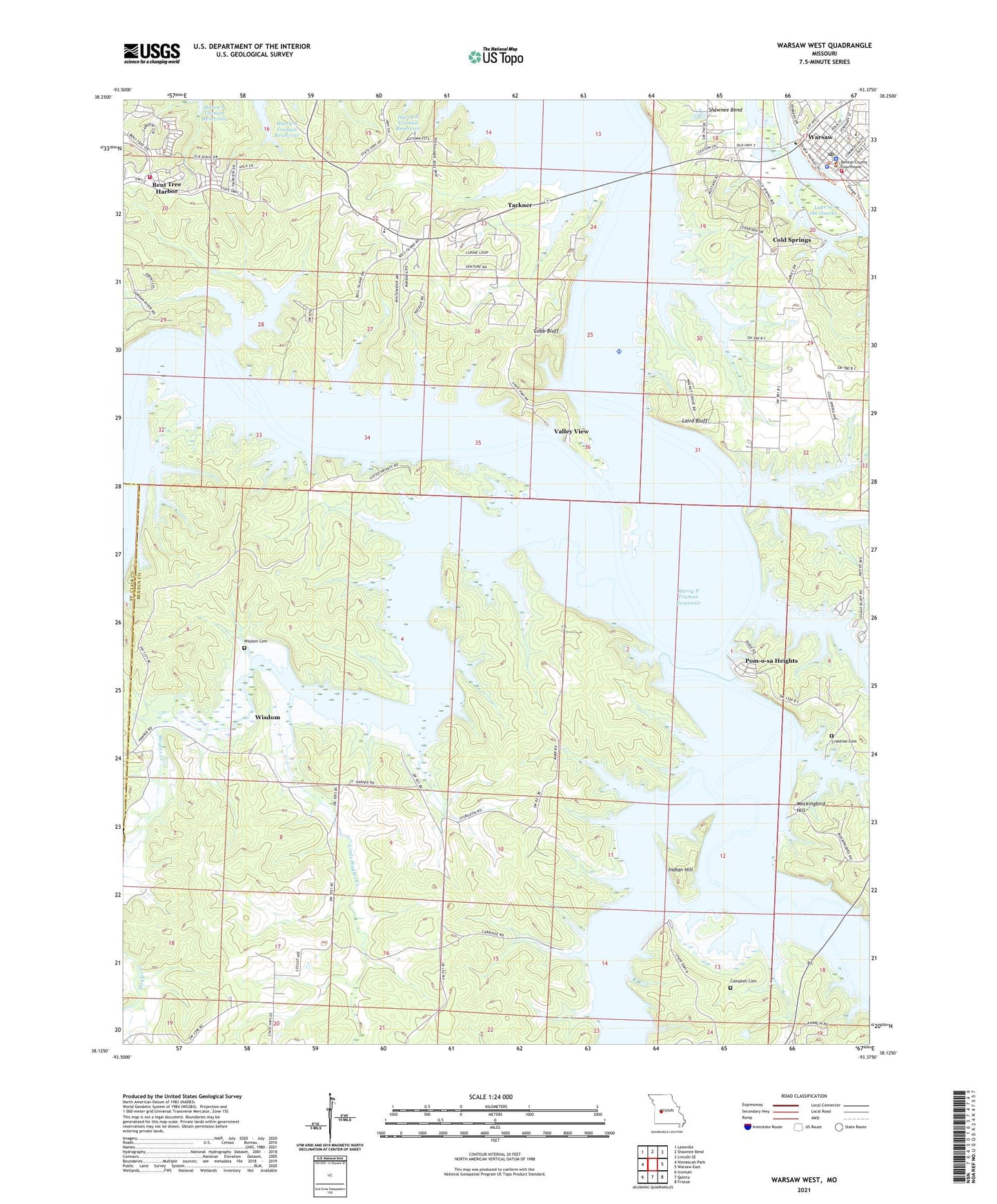
2021 topographic map quadrangle Warsaw West in the state of Missouri. Scale: 1:24000. Based on the newly updated USGS 7.5' US Topo map series, this map is in the following counties: Benton, St. Clair. The map contains contour data, water features, and other items you are used to seeing on USGS maps, but also has updated roads and other features. This is the next generation of topographic maps. Printed on high-quality waterproof paper with UV fade-resistant inks.
Quads adjacent to this one:
West: Ninnescah Park
Northwest: Leesville
North: Shawnee Bend
Northeast: Lincoln SE
East: Warsaw East
Southeast: Fristoe
South: Quincy
Southwest: Iconium
This map covers the same area as the classic USGS quad with code o38093b4.
Contains the following named places: Bailey Bridge, Ballet Cemetery, Bent Tree Harbor, Bent Tree Harbor Census Designated Place, Benton County Sheriff's Office, Campbell Cemetery, Cedar Grove Church, City Union Mission Camp, Cobb Bluff, Cold Springs, Crabtree Cemetery, Fairfield, Fairfield Church, Fairfield Public Use Area, Freedom School, Goose Lake, Heath Bridge, Hogles Creek, Hogles Creek Church, Hogles Creek School, Indian Hill, Laird Bluff, Little Hogles Creek, Little Pomme de Terre River, Mockingbird Hill, Mount Hope School, Mount Olive Church, National School, Negro Springs Camp, Opportunity Farms, Osage Bluff Public Use Area, Peal Bend, Peal Bend Bridge, Peal Bend School, Peal Cemetery, Pomme de Terre Hall, Pom-o-sa Heights, R 10 School, Sugarcamp Hollow, Tackner, Tatge Lake Section 29 Dam, Township of Alexander, Township of Tom, Turpin Branch, Valley View, Vance Branch, Walnut Grove School, Warsaw, Warsaw Fire and Rescue Station 1, Warsaw Fire and Rescue Station 5 Bent Tree, Warsaw Police Department, Warsaw Post Office, Wisdom, Wisdom Cemetery


