MyTopo
Ninnescah Park Missouri US Topo Map
Couldn't load pickup availability
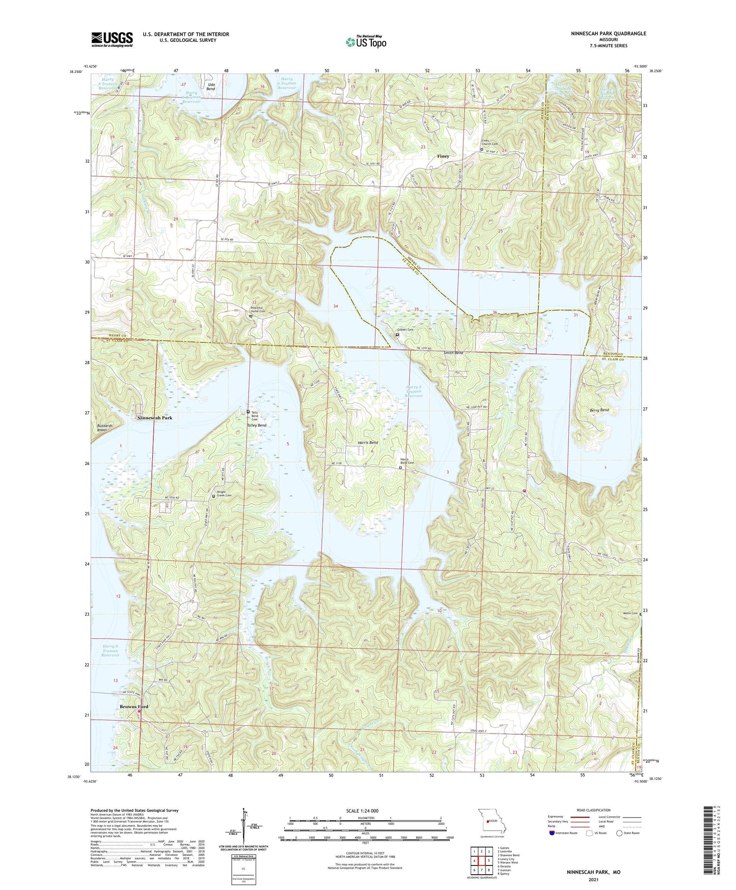
2021 topographic map quadrangle Ninnescah Park in the state of Missouri. Scale: 1:24000. Based on the newly updated USGS 7.5' US Topo map series, this map is in the following counties: St. Clair, Henry, Benton. The map contains contour data, water features, and other items you are used to seeing on USGS maps, but also has updated roads and other features. This is the next generation of topographic maps. Printed on high-quality waterproof paper with UV fade-resistant inks.
Quads adjacent to this one:
West: Lowry City
Northwest: Gaines
North: Leesville
Northeast: Shawnee Bend
East: Warsaw West
Southeast: Quincy
South: Iconium
Southwest: Osceola
This map covers the same area as the classic USGS quad with code o38093b5.
Contains the following named places: Akens Cemetery, Baker, Berry Bend, Berry Bend Public Use Area, Berry Spring, Big Muddy Creek, Browns Ford, Butler Hollow, Buzzards Roost, Drennons Camp, Eds Camp, Finey, Finey Church, Finey School, Fox Run, Gilbert Cemetery, Gilbert Island, Greys Mill Ford, Happy Hollow, Harris Bend, Harris Bend Cemetery, Harris Bend School, Iconium Fire Protection District Station 2, Iconium Fire Protection District Station 3, Jackson Branch, McGuiness Bend, Millers Island, Mountain Home School, Ninnescah Park, Peaceful Home Cemetery, Scotts Camp, Shady Grove School, Smith Bend, Smith Bend School, South Fork Wright Creek, Talley Bend, Tally Bend Cemetery, Township of Jackson, Udo Bend, Valhalla P O, Valhalla Store, White Sulphur Springs, Wright Creek, Wright Creek Church, Wright Creek School