MyTopo
Quincy Missouri US Topo Map
Couldn't load pickup availability
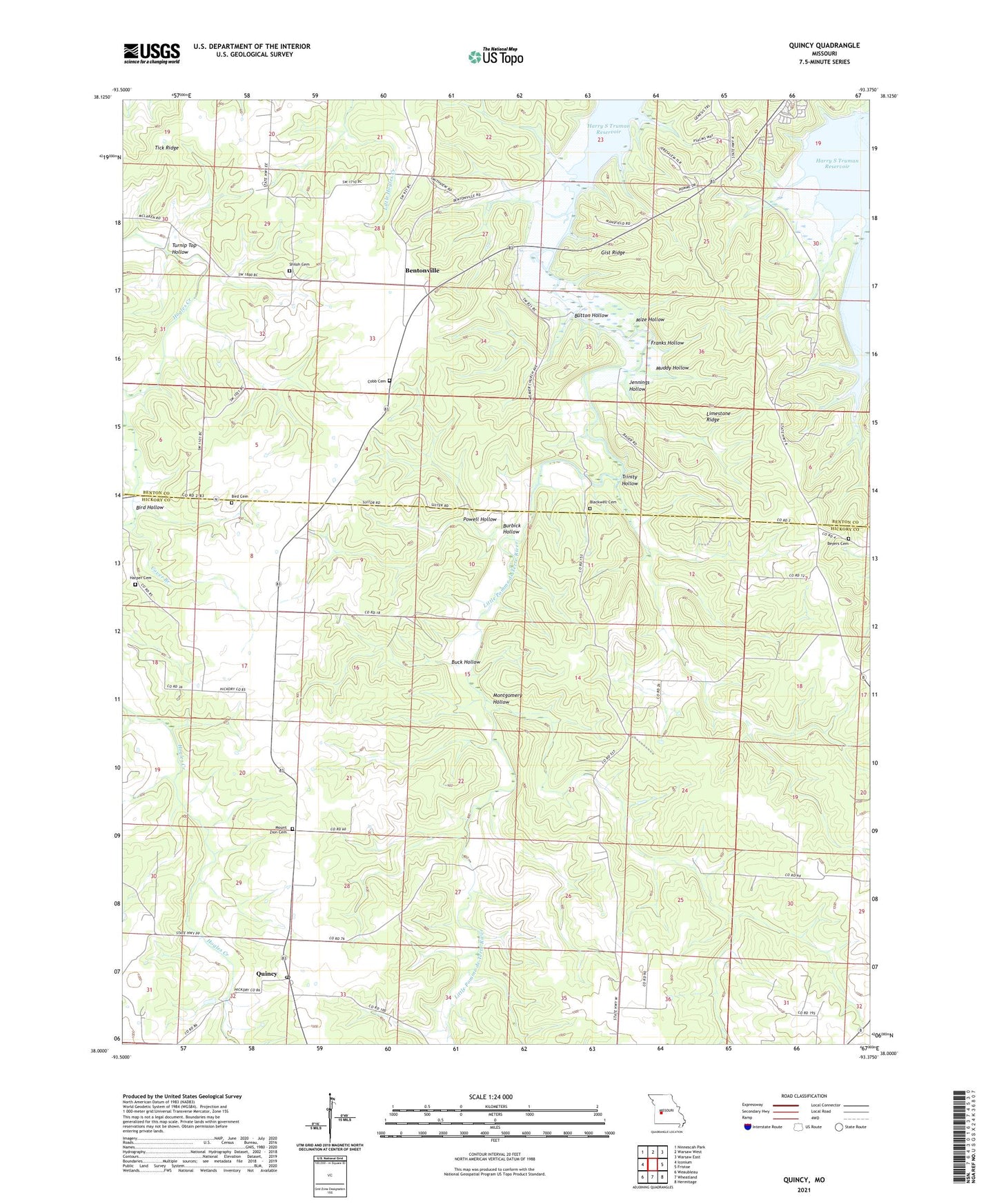
2021 topographic map quadrangle Quincy in the state of Missouri. Scale: 1:24000. Based on the newly updated USGS 7.5' US Topo map series, this map is in the following counties: Hickory, Benton. The map contains contour data, water features, and other items you are used to seeing on USGS maps, but also has updated roads and other features. This is the next generation of topographic maps. Printed on high-quality waterproof paper with UV fade-resistant inks.
Quads adjacent to this one:
West: Iconium
Northwest: Ninnescah Park
North: Warsaw West
Northeast: Warsaw East
East: Fristoe
Southeast: Hermitage
South: Wheatland
Southwest: Weaubleau
This map covers the same area as the classic USGS quad with code o38093a4.
Contains the following named places: Bentonville, Beyers Cemetery, Bird Cemetery, Bird Hollow, Bird School, Blackwell Cemetery, Buck Hollow, Burbick Hollow, Button Hollow, Cobb Cemetery, Cover Branch, Cross Lane School, Franks Hollow, Freedom Church, Gist Ridge, Gover Branch, Harper Cemetery, Hopewell Church, Jennings Hollow, Limestone Ridge, Mize Hollow, Montgomery Hollow, Mount Zion Cemetery, Muddy Hollow, Myers School, Pleasant Grove Church, Pleasant Hill School, Powell Hollow, Quincy, Quincy Post Office, Shiloh Cemetery, Shiloh Church, Shiloh School, Tick Ridge, Township of Montgomery, Trinity Hollow, Turnip Top Hollow, Union Church, Union School, ZIP Code: 65735