MyTopo
Shawnee Bend Missouri US Topo Map
Couldn't load pickup availability
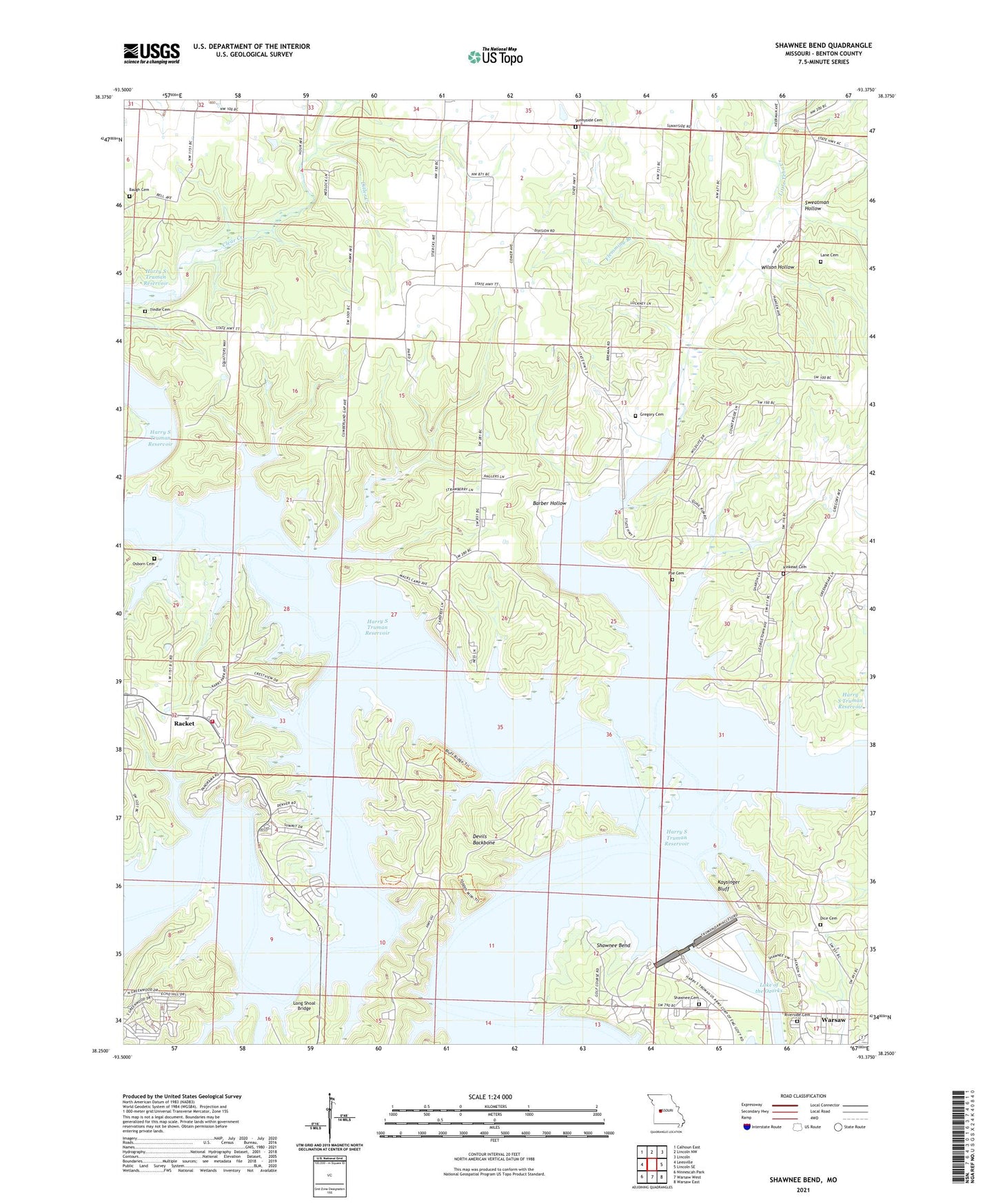
2021 topographic map quadrangle Shawnee Bend in the state of Missouri. Scale: 1:24000. Based on the newly updated USGS 7.5' US Topo map series, this map is in the following counties: Benton. The map contains contour data, water features, and other items you are used to seeing on USGS maps, but also has updated roads and other features. This is the next generation of topographic maps. Printed on high-quality waterproof paper with UV fade-resistant inks.
Quads adjacent to this one:
West: Leesville
Northwest: Calhoun East
North: Lincoln NW
Northeast: Lincoln
East: Lincoln SE
Southeast: Warsaw East
South: Warsaw West
Southwest: Ninnescah Park
This map covers the same area as the classic USGS quad with code o38093c4.
Contains the following named places: Barber Hollow, Baugh Cemetery, Baugh School, Benson Dam, Benson Lake, Bledsoe Ferry Public Use Area, Brush Creek State Wildlife Management Area, Cedar Hills Golf Course, Cherrydale School, Cooper Cemetery, Cooper School, Corn Hill School, Crawfish Hollow, Devils Backbone, Dice Cemetery, Ditler Creek, Downing Cemetery, Flemming Branch, Gregory Cemetery, Harry S Truman Dam, Harry S Truman State Park, Hickory Chapel, Kaysinger Bluff, Kaysinger Bluff Public Use Area, Kinkead Cemetery, Lane Cemetery, Limestone School, Little Tebo Creek, Little Tebo Creek State Wildlife Management Area, Long Shoal Bridge, Long Shoal Public Use Area, Macks Camp, Oak Grove School, Orr School, Osborn Cemetery, Passo, Pleasant Grove School, Poe Cemetery, Racket, Racket School, Riverside Cemetery, Shady Grove Church, Shawnee Bend, Shawnee Bend Church, Shawnee Bend Public Use Area, Shawnee Bend School, Shawnee Cemetery, South Grand River, Spring Grove Church, Stevenson Hollow, Sugarcamp Hollow, Sunnyside Cemetery, Sunnyside Church, Sunnyside School, Sweatman Hollow, Teal Bend, Tebo Creek, Thibaut Point Public Use Area, Tindle Cemetery, Township of Lindsey, Township of North Lindsey, Warsaw Fire Protection District Station 6, Wilson Hollow, Wrights Island