MyTopo
Ashbough Canyon Montana US Topo Map
Couldn't load pickup availability
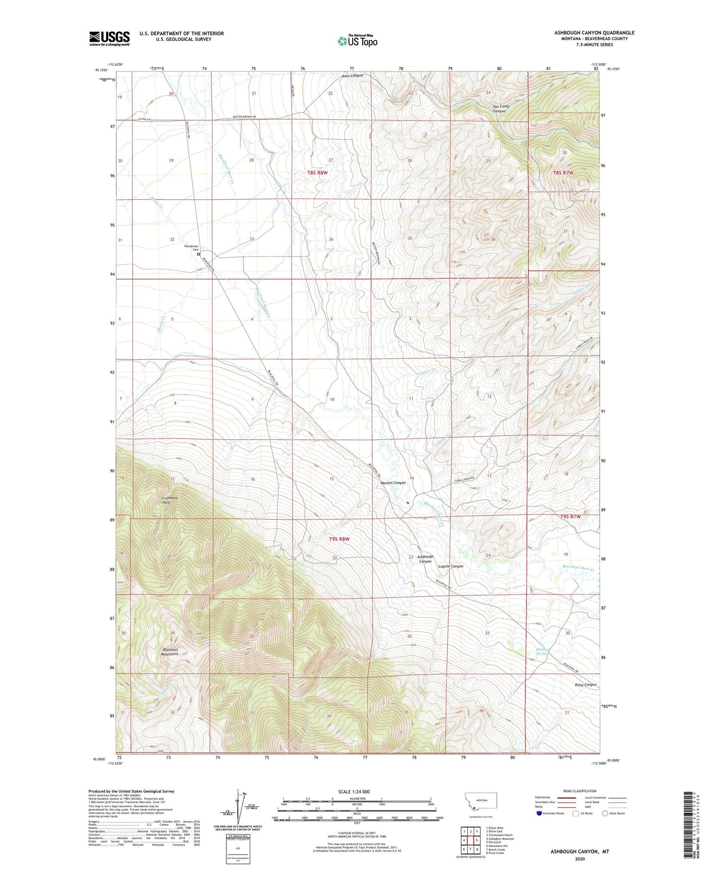
2024 topographic map quadrangle Ashbough Canyon in the state of Montana. Scale: 1:24000. Based on the newly updated USGS 7.5' US Topo map series, this map is in the following counties: Beaverhead. The map contains contour data, water features, and other items you are used to seeing on USGS maps, but also has updated roads and other features. This is the next generation of topographic maps. Printed on high-quality waterproof paper with UV fade-resistant inks.
Quads adjacent to this one:
West: Gallagher Mountain
Northwest: Dillon West
North: Dillon East
Northeast: Christensen Ranch
East: Elk Gulch
Southeast: Price Creek
South: Beech Creek
Southwest: Monument Hill
This map covers the same area as the classic USGS quad with code o45112a5.
Contains the following named places: 08S08W20ACCA02 Well, 08S08W20DDCC01 Well, 08S08W28CBDA01 Well, 08S08W29CDAD01 Well, 08S08W30AAAA01 Well, 08S08W32CCAB01 Well, 08S08W32DACA01 Well, 08S08W32DACA02 Well, 08S08W32DBBA01 Well, 08S08W33CDBB01 Well, 09S08W04CAAC01 Well, 09S08W10BCDC01 Well, 09S08W14CDAD01 Well, 09S08W14CDAD02 Well, Ashbough Canyon, Axes Canyon, Axes Canyon Mine, Blacktail Spring, Brown Ranch, Cabin Creek, Conover Ranch, Coyote Canyon, Ground Hog Mine, Irishmans Hole, Landon Ranch, NE NE Section 26 Mine, Nevada Mine, Poindexter, Poindexter Cemetery, Poindexter School, Riley Canyon, Rock Island Ranch, Smith Dillon Mine, Timber Creek, Van Camp Canyon, Weston Canyon