MyTopo
Dillon East Montana US Topo Map
Couldn't load pickup availability
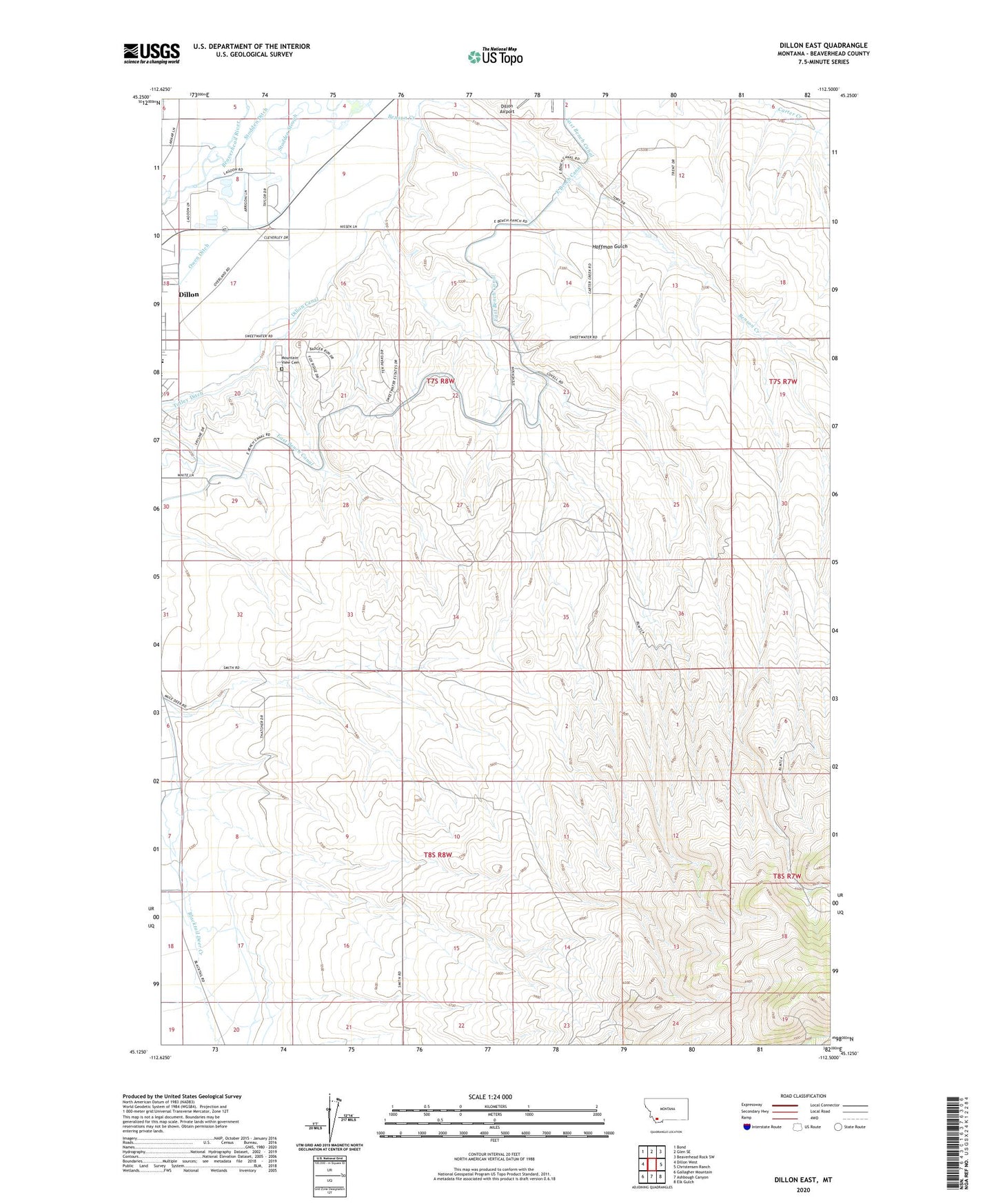
2024 topographic map quadrangle Dillon East in the state of Montana. Scale: 1:24000. Based on the newly updated USGS 7.5' US Topo map series, this map is in the following counties: Beaverhead. The map contains contour data, water features, and other items you are used to seeing on USGS maps, but also has updated roads and other features. This is the next generation of topographic maps. Printed on high-quality waterproof paper with UV fade-resistant inks.
Quads adjacent to this one:
West: Dillon West
Northwest: Bond
North: Glen SE
Northeast: Beaverhead Rock SW
East: Christensen Ranch
Southeast: Elk Gulch
South: Ashbough Canyon
Southwest: Gallagher Mountain
This map covers the same area as the classic USGS quad with code o45112b5.
Contains the following named places: 07S08W10BBAC01 Well, 07S08W11BBCB01 Well, 07S08W15ADC_01 Well, 07S08W16AACA01 Well, 07S08W16CAA_01 Well, 07S08W17DDC_02 Well, 07S08W19ADD_02 Well, 07S08W23CCA_01 Well, 07S08W29BBD_01 Well, 08S08W06ADDD01 Well, 08S08W07DAAC01 Well, 08S08W07DDDC01 Well, 08S08W07DDDD01 Well, 08S08W20ACCA01 Well, Beaverhead Golf Club, Benson Creek, Centennial Park, Dan Ibey Memorial Park, Dillon Canal, Dillon Sewage Lagoon Dam, East Bench, Fairview, Hoffman Creek, Hoffman Gulch, Mountain View Cemetery, NW Section 24 Mine, Parkview Acres Care and Rehabilitation Center, Parkview Elementary School, Ray Lynch Park, SkyLine RV Park, South Side Reservoir, Stodden Ditch, Tulley Ditch