MyTopo
Baker NW Montana US Topo Map
Couldn't load pickup availability
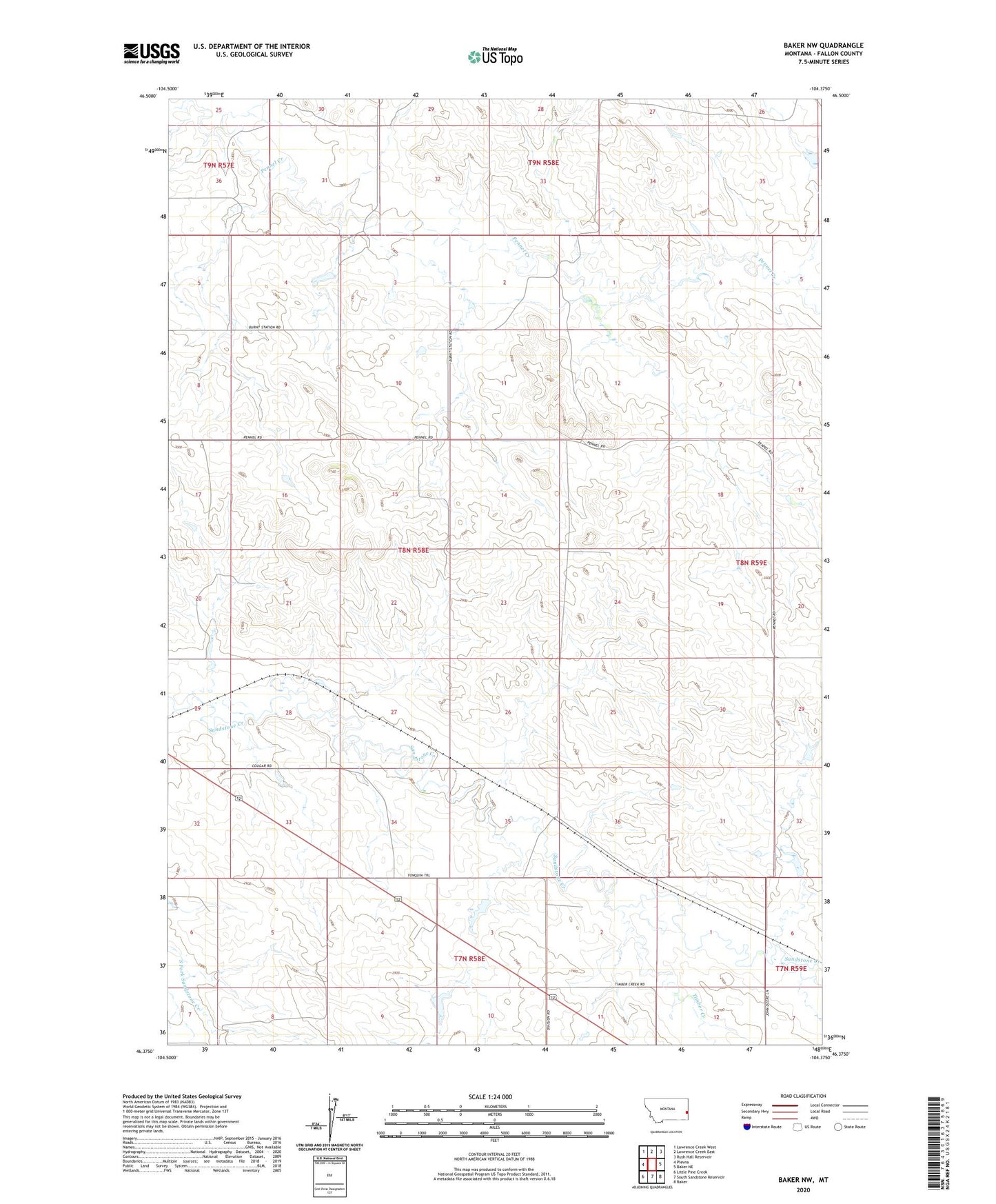
2024 topographic map quadrangle Baker NW in the state of Montana. Scale: 1:24000. Based on the newly updated USGS 7.5' US Topo map series, this map is in the following counties: Fallon. The map contains contour data, water features, and other items you are used to seeing on USGS maps, but also has updated roads and other features. This is the next generation of topographic maps. Printed on high-quality waterproof paper with UV fade-resistant inks.
Quads adjacent to this one:
West: Plevna
Northwest: Lawrence Creek West
North: Lawrence Creek East
Northeast: Rush Hall Reservoir
East: Baker NE
Southeast: Baker
South: South Sandstone Reservoir
Southwest: Little Pine Creek
This map covers the same area as the classic USGS quad with code o46104d4.
Contains the following named places: 07N58E04AD__01 Well, 07N59E06CB__01 Well, 08N58E02AABB01 Well, 08N58E08DC__01 Well, 08N58E10DB__01 Well, 08N58E26AA__01 Well, 08N58E29ABAA01 Well, 08N58E34CA__01 Well, 08N58E35DB__01 Well, 08N58E36DD__01 Well, 08N59E07CD__01 Well, 08N59E08CC__01 Well, 08N59E18AA__01 Well, 08N59E18AB__01 Well, 09N58E27CD__01 Well, 09N58E30CC__01 Well, 09N58E33CDCD01 Well, H A Wyrick Number 1 Dam, Oscar Number 1 Dam, Thielen Number 1 Dam, Timber Creek, Tonquin