MyTopo
Barber Coulee Montana US Topo Map
Couldn't load pickup availability
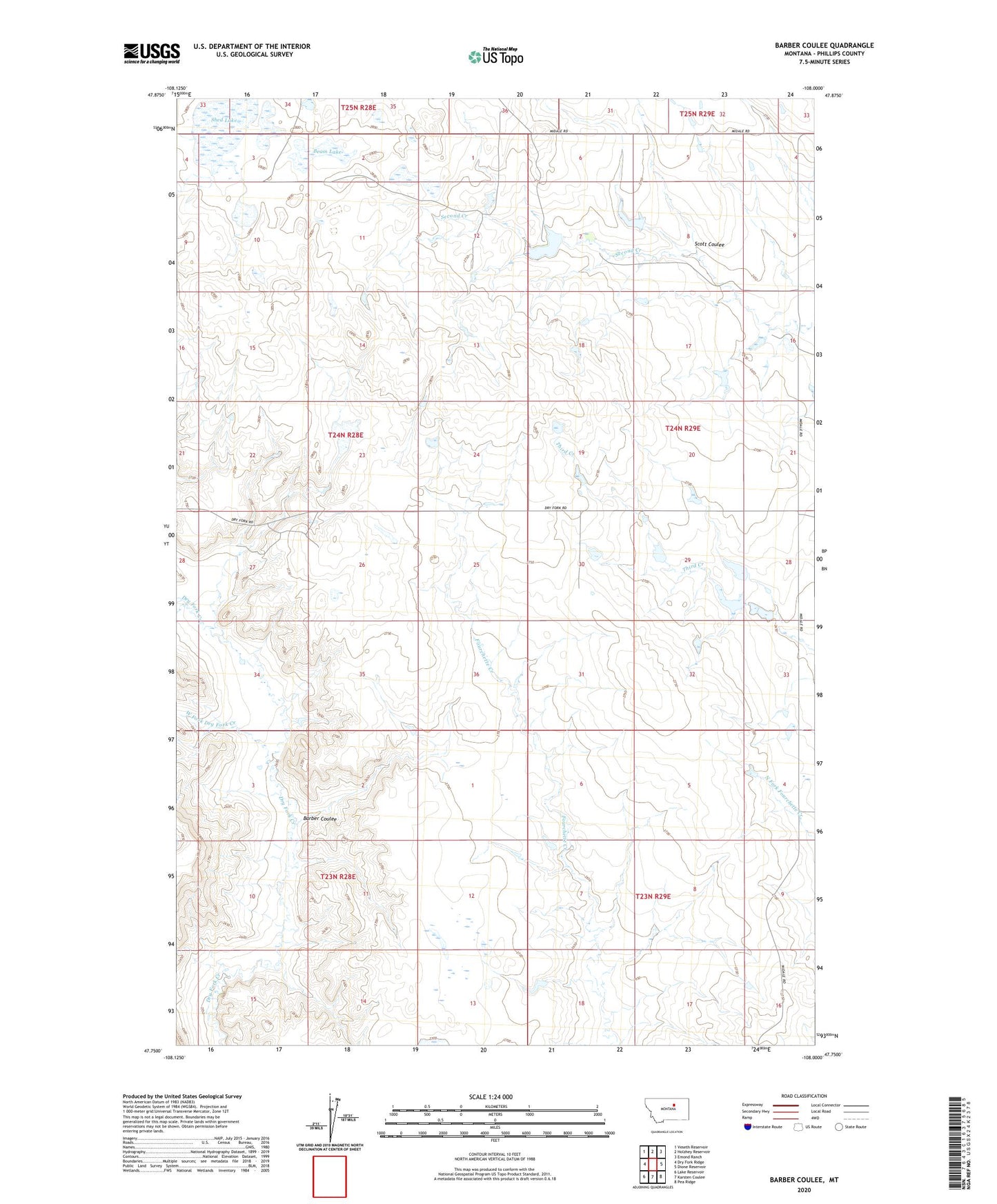
2024 topographic map quadrangle Barber Coulee in the state of Montana. Scale: 1:24000. Based on the newly updated USGS 7.5' US Topo map series, this map is in the following counties: Phillips. The map contains contour data, water features, and other items you are used to seeing on USGS maps, but also has updated roads and other features. This is the next generation of topographic maps. Printed on high-quality waterproof paper with UV fade-resistant inks.
Quads adjacent to this one:
West: Dry Fork Ridge
Northwest: Veseth Reservoir
North: Holzhey Reservoir
Northeast: Emond Ranch
East: Dione Reservoir
Southeast: Pea Ridge
South: Karsten Coulee
Southwest: Lake Reservoir
This map covers the same area as the classic USGS quad with code o47108g1.
Contains the following named places: 24N28E12AA__01 Well, 24N28E12DAB_01 Well, 24N28E27AA__01 Well, 24N29E07BD__01 Well, 24N29E16BC__01 Well, 24N29E30BD__01 Well, Anderson School, Barber Coulee, Beam Lake, Lazy JD Number 12 Dam, None Dam, R Pankratz Number 1 Dam, Roth Number 1 Dam, Roth Number 2 Dam, Scott Coulee, Second Creek School, Second Telegraph Dam, Shed Lake, South Phillips Division, West Fork Dry Fork Creek, William Knight Number 1 Dam, William Knight Number 2 Dam