MyTopo
Beaverhead Rock NE Montana US Topo Map
Couldn't load pickup availability
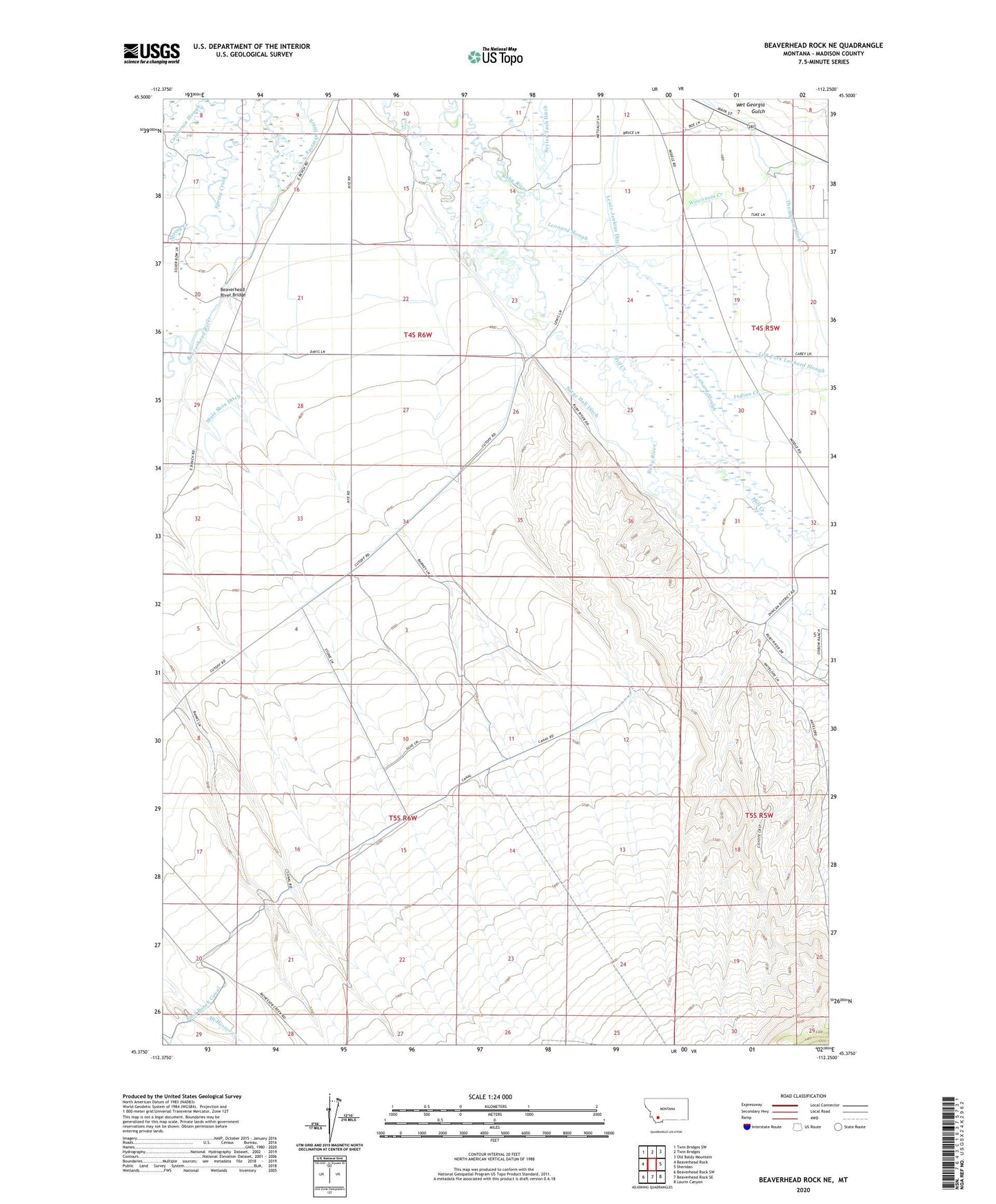
2024 topographic map quadrangle Beaverhead Rock NE in the state of Montana. Scale: 1:24000. Based on the newly updated USGS 7.5' US Topo map series, this map is in the following counties: Madison. The map contains contour data, water features, and other items you are used to seeing on USGS maps, but also has updated roads and other features. This is the next generation of topographic maps. Printed on high-quality waterproof paper with UV fade-resistant inks.
Quads adjacent to this one:
West: Beaverhead Rock
Northwest: Twin Bridges SW
North: Twin Bridges
Northeast: Old Baldy Mountain
East: Sheridan
Southeast: Laurin Canyon
South: Beaverhead Rock SE
Southwest: Beaverhead Rock SW
This map covers the same area as the classic USGS quad with code o45112d3.
Contains the following named places: 04S05W18CAAC01 Well, 04S06W16AAAA02 Well, 04S06W16DDDD02 Well, 04S06W26ABA_02 Well, 04S06W26ABB_02 Well, 04S06W27BAAA01 Well, 04S06W29AABA01 Well, 04S06W32ABB_02 Well, 04S06W32ABBA02 Well, 04S06W35BBBB01 Well, 05S05W05CCAA01 Well, 05S05W05CCCA01 Well, 05S06W03AAB_01 Well, 05S06W03BBB_01 Well, 05S06W04BDA_01 Well, 05S06W10BCCA01 Well, 05S06W12BBB01_ Well, 05S06W15ACB_01 Well, 05S06W17CAB_01 Well, 59754, Beaverhead River Bridge, Castle Rock, Cottonwood Ranch, Duncan School, Indian Creek, Left Fork Leonard Slough, Leonard Slough, Mill Creek, Sarge Hall Ditch, Silver Springs, Wet Georgia Gulch, Wisconsin Creek