MyTopo
Beaverhead Rock Montana US Topo Map
Couldn't load pickup availability
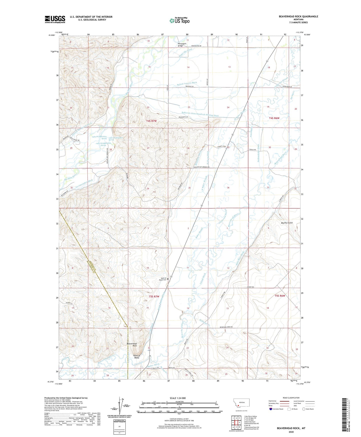
2024 topographic map quadrangle Beaverhead Rock in the state of Montana. Scale: 1:24000. Based on the newly updated USGS 7.5' US Topo map series, this map is in the following counties: Madison, Beaverhead. The map contains contour data, water features, and other items you are used to seeing on USGS maps, but also has updated roads and other features. This is the next generation of topographic maps. Printed on high-quality waterproof paper with UV fade-resistant inks.
Quads adjacent to this one:
West: Block Mountain
Northwest: Nez Perce Hollow
North: Twin Bridges SW
Northeast: Twin Bridges
East: Beaverhead Rock NE
Southeast: Beaverhead Rock SE
South: Beaverhead Rock SW
Southwest: Glen SE
This map covers the same area as the classic USGS quad with code o45112d4.
Contains the following named places: 04S06W32CBB_01 Well, 04S07W28ACBC01 Spring, 04S07W28BDAA01 Well, 04S07W28BDAD01 Spring, 04S07W28BDAD02 Spring, 04S07W28BDDC01 Well, 04S07W28BDDC02 Well, 04S07W28CDCA01 Well, 04S07W32AABA01 Well, 04S07W33BDBA01 Well, 05S06W06ABD_01 Well, 05S06W07DCDD01 Well, 05S06W07DDA_01 Well, 05S06W19BDD_01 Well, 05S06W19BDDD02 Well, 05S06W20CBB_02 Well, 05S07W12AAA_02 Well, 05S07W12AAAA01 Well, 05S07W14ADDD02 Well, 05S07W14DDD_01 Well, 05S07W23ABA_01 Well, Albers Slough, Baker Slough, Balkovetz Giem Standvich Whiting Ditch, Beaver Head Rock, Beaver Head Rock Post Office, Beaverhead Rock, Beaverhead Rock Historical Marker, Beaverhead Rock State Park, Big Dry Gulch, Biltmore Hot Springs, Blaine Post Office, Blaine School, Bokum Lawyer Ditch, Centerville, Centerville School, Charlton Slough, Co-op Ditch, Fr Co-op Ditch, Island Ditch, Jones Ditch, Larson-Narancich Ditch, Mailey Ditch, McHessor Creek, McKinney Ditch, Mule Shoe Ditch, Paigeville Canal, Pennington Bridge, Point of Rocks, Point of Rocks Cemetery, Point of Rocks Post Office, Point of Rocks School, Seidensticker Ditch, Spring Creek, Warm Springs Ditch, West Baker Slough


