MyTopo
Belle Creek North Montana US Topo Map
Couldn't load pickup availability
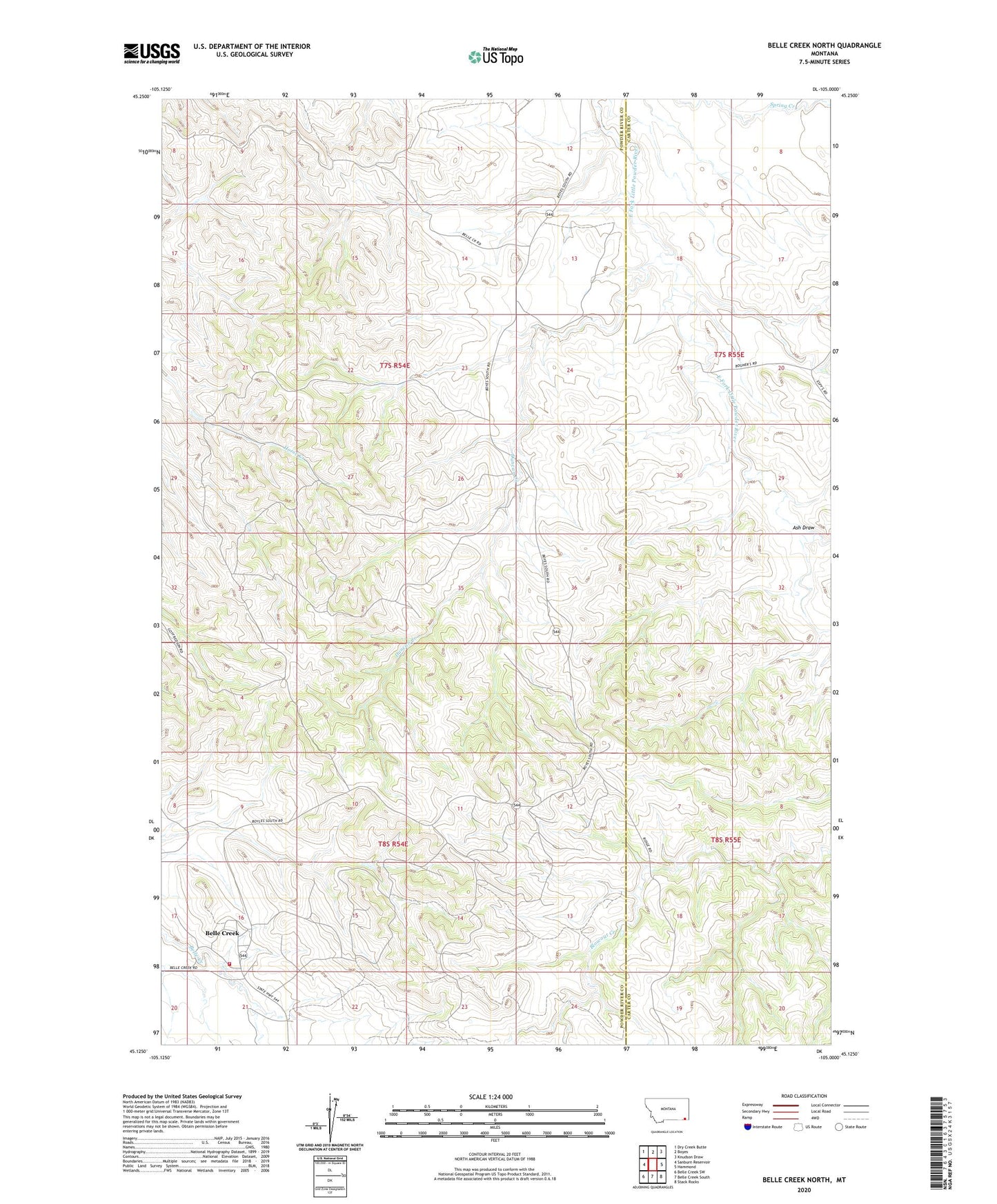
2024 topographic map quadrangle Belle Creek North in the state of Montana. Scale: 1:24000. Based on the newly updated USGS 7.5' US Topo map series, this map is in the following counties: Powder River, Carter. The map contains contour data, water features, and other items you are used to seeing on USGS maps, but also has updated roads and other features. This is the next generation of topographic maps. Printed on high-quality waterproof paper with UV fade-resistant inks.
Quads adjacent to this one:
West: Sanburn Reservoir
Northwest: Dry Creek Butte
North: Boyes
Northeast: Knudson Draw
East: Hammond
Southeast: Stack Rocks
South: Belle Creek South
Southwest: Belle Creek SW
This map covers the same area as the classic USGS quad with code o45105b1.
Contains the following named places: 07S54E13BBCA01 Well, 07S54E13DDDA01 Well, 07S54E17ADCD01 Well, 07S54E23DBAA01 Well, 07S54E24AB__01 Well, 07S54E25BCCB01 Well, 07S54E26CCCA01 Well, 07S55E07DDAA01 Well, 07S55E08AB__01 Well, 07S55E30ABBA01 Well, 07S55E32BDDD01 Well, 08S54E02AABD01 Well, 08S54E11DACC01 Well, 08S54E21ADA_01 Well, 08S54E21ADAA01 Well, 08S54E21ADAD01 Well, 08S54E21DB__01 Well, Ash Draw, Belle Creek, Belle Creek Church, Belle Creek Rural Fire District, Duncan Creek, Duncan Creek School