MyTopo
Big Bend School Montana US Topo Map
Couldn't load pickup availability
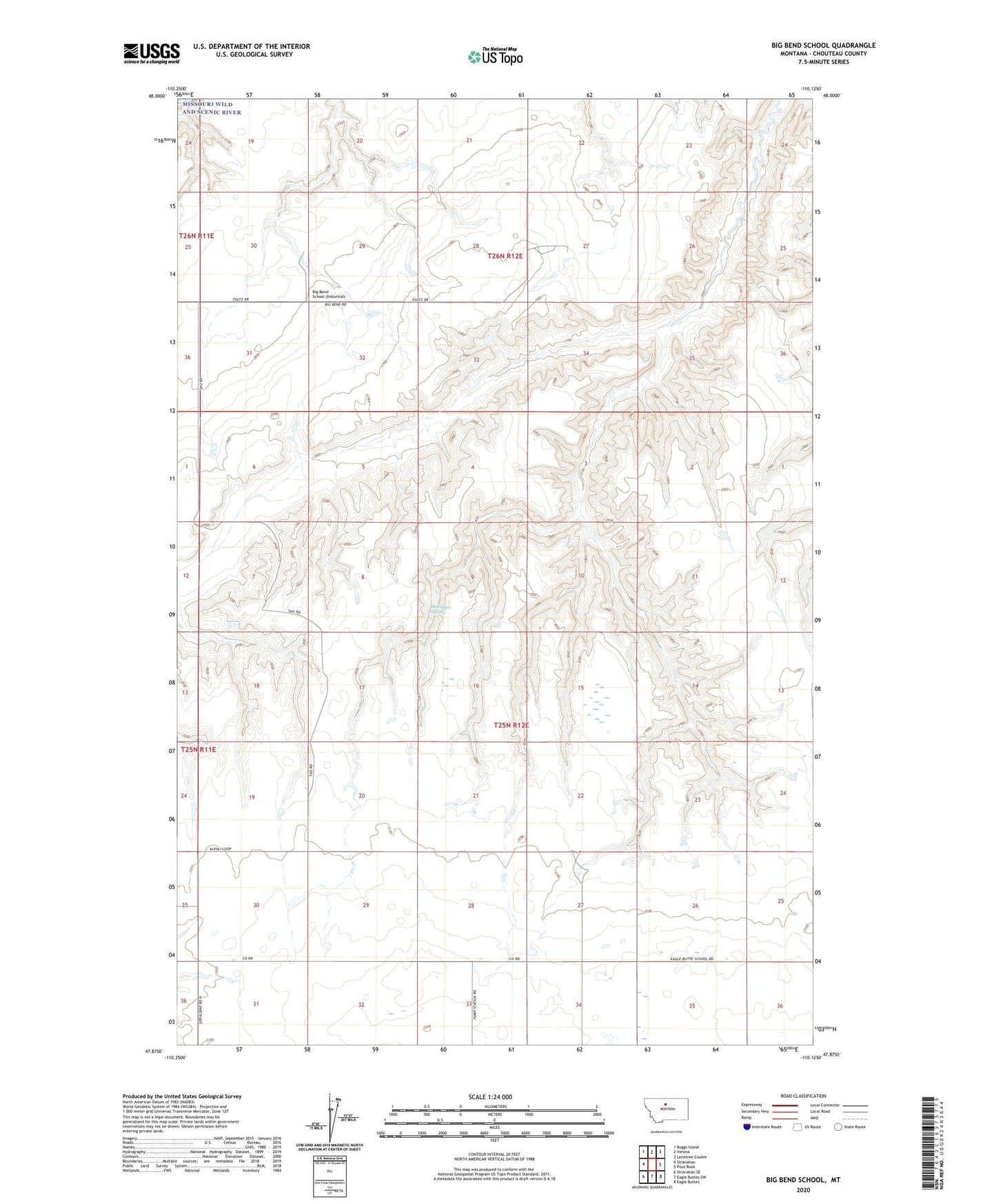
2024 topographic map quadrangle Big Bend School in the state of Montana. Scale: 1:24000. Based on the newly updated USGS 7.5' US Topo map series, this map is in the following counties: Chouteau. The map contains contour data, water features, and other items you are used to seeing on USGS maps, but also has updated roads and other features. This is the next generation of topographic maps. Printed on high-quality waterproof paper with UV fade-resistant inks.
Quads adjacent to this one:
West: Stranahan
Northwest: Boggs Island
North: Verona
Northeast: Lonetree Coulee
East: Pilot Rock
Southeast: Eagle Buttes
South: Eagle Buttes SW
Southwest: Stranahan SE
This map covers the same area as the classic USGS quad with code o47110h2.
Contains the following named places: 25N12E27ABCB01 Well, Artic Dam, Big Bend School, Black Rock, Chimney Rock, Eagle Butte School, McCullen Spring, The Sag