MyTopo
Box Elder Montana US Topo Map
Couldn't load pickup availability
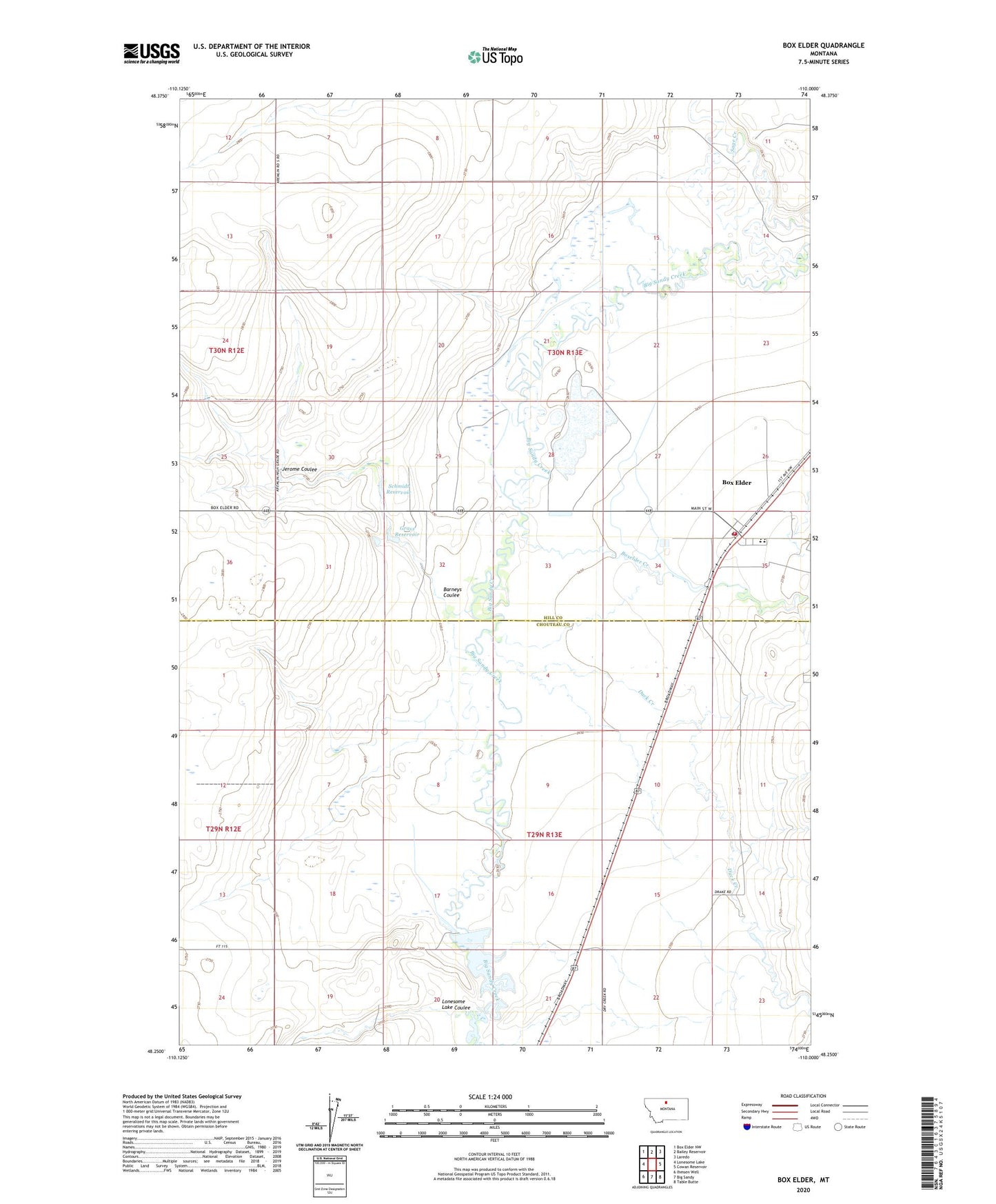
2024 topographic map quadrangle Box Elder in the state of Montana. Scale: 1:24000. Based on the newly updated USGS 7.5' US Topo map series, this map is in the following counties: Hill, Chouteau. The map contains contour data, water features, and other items you are used to seeing on USGS maps, but also has updated roads and other features. This is the next generation of topographic maps. Printed on high-quality waterproof paper with UV fade-resistant inks.
Quads adjacent to this one:
West: Lonesome Lake
Northwest: Box Elder NW
North: Bailey Reservoir
Northeast: Laredo
East: Cowan Reservoir
Southeast: Table Butte
South: Big Sandy
Southwest: Ihmsen Well
This map covers the same area as the classic USGS quad with code o48110c1.
Contains the following named places: 29N12E01BAAA01 Well, 29N12E24AD__01 Well, 29N13E05BB__01 Well, 29N13E14AC__01 Well, 29N13E21AA__01 Well, 29N13E21AABA02 Well, 29N13E22AB__01 Well, 29N13E22AB__02 Well, 30N12E36AA__01 Well, 30N13E22DC__01 Well, 30N13E26DC__01 Well, 30N13E27DD__01 Well, 30N13E28AA__01 Well, 30N13E29BD__01 Well, 30N13E29DC__01 Well, 30N13E29DC__02 Well, Barneys Coulee, Box Elder, Box Elder Census Designated Place, Box Elder Post Office, Box Elder Rural Fire District, Box Elder School, Boxelder Creek, Bremer Post Office, Duck Creek, General Mills Incorporated Elevator, Grass Reservoir, Jerome Coulee, Kamaloop Dam, Kamaloop Number 2 Dam, Lonesome Lake Coulee, Rocky Crossing, Rocky Crossing Reservoir Dam, Saint Anthony Church, Schmidt Dam, Schmidt Reservoir