MyTopo
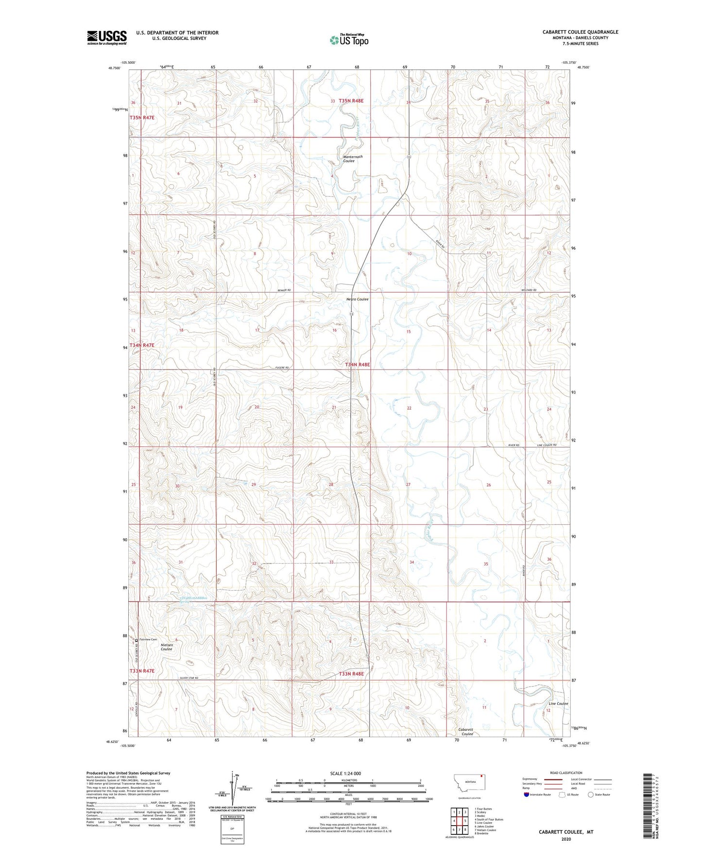
Cabarett Coulee Montana US Topo Map
Couldn't load pickup availability
2024 topographic map quadrangle Cabarett Coulee in the state of Montana. Scale: 1:24000. Based on the newly updated USGS 7.5' US Topo map series, this map is in the following counties: Daniels. The map contains contour data, water features, and other items you are used to seeing on USGS maps, but also has updated roads and other features. This is the next generation of topographic maps. Printed on high-quality waterproof paper with UV fade-resistant inks.
Quads adjacent to this one:
West: South of Four Buttes
Northwest: Four Buttes
North: Scobey
Northeast: Madoc
East: Line Coulee
Southeast: Bredette
South: Nielsen Coulee
Southwest: Jakes Coulee
This map covers the same area as the classic USGS quad with code o48105f4.
Contains the following named places: 33N47E12AAAB01 Well, 33N47E12AAAC01 Well, 33N48E05DADA01 Well, 33N48E06ABAC01 Well, 33N48E06ABBB01 Spring, 33N48E07ACAB01 Well, 33N48E07ACAB02 Well, 33N48E07ACBA01 Well, 34N48E03BBAA01 Well, 34N48E03BBAD01 Well, 34N48E03DCBB01 Well, 34N48E03DCBC01 Well, 34N48E03DCBC02 Well, 34N48E03DCBC03 Well, 34N48E07DAAD01 Well, 34N48E08CCAC01 Well, 34N48E08CCBA01 Well, 34N48E08CCCA01 Well, 34N48E11BCCD01 Well, 34N48E13BACA01 Well, 34N48E14ACCC01 Well, 34N48E16CDCA01 Well, 34N48E17BBCA01 Well, 34N48E17BBCD01 Well, 34N48E21ACCA01 Well, 34N48E21ADBC01 Well, 34N48E21ADCB01 Well, 34N48E21BDDA01 Well, 34N48E21DDCC01 Well, 34N48E24CCCB01 Well, 34N48E25BCAB01 Well, 34N48E25BCBA01 Well, 34N48E26BDBB01 Well, 34N48E26BDBC01 Well, 34N48E29BDCA01 Well, 34N48E30AABA01 Well, 34N48E32CDCA01 Well, 34N48E33CCCD01 Well, 34N48E34CADC01 Well, 34N48E35ADAD01 Well, 34N48E35ADAD02 Well, 34N48E35DDAA01 Well, 34N48E36BABA01 Well, 35N48E32ACDD01 Well, 35N48E32DDAC01 Well, 35N48E34ACAA01 Well, 35N48E34ACAD01 Well, 35N48E34DDCC01 Well, 35N48E34DDCC02 Well, 35N48E34DDCD01 Well, Drury Dam, Fairview Cemetery, Kraft Post Office, Line Coulee, Manternach Coulee, Negro Coulee, Silver Star Hall


