MyTopo
Carlyle NW Montana US Topo Map
Couldn't load pickup availability
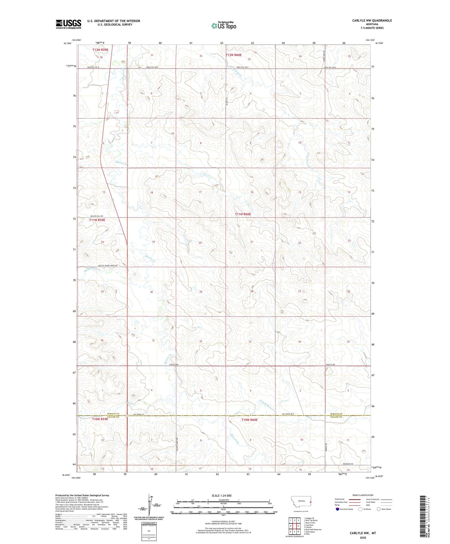
2024 topographic map quadrangle Carlyle NW in the state of Montana. Scale: 1:24000. Based on the newly updated USGS 7.5' US Topo map series, this map is in the following counties: Wibaux, Fallon. The map contains contour data, water features, and other items you are used to seeing on USGS maps, but also has updated roads and other features. This is the next generation of topographic maps. Printed on high-quality waterproof paper with UV fade-resistant inks.
Quads adjacent to this one:
West: Cap Rock
Northwest: Hodges SE
North: Red Top Butte
Northeast: Duck Creek
East: Carlyle
Southeast: Ollie
South: Shell Butte
Southwest: Rush Hall Reservoir
This map covers the same area as the classic USGS quad with code o46104f2.
Contains the following named places: 11N60E30CCB_01 Well, Ash Creek, Dennis Post Office, Dennis School, East Fork Beaver Creek, Edgehill School, Lone Tree School, Lutts School, Muggah School, Nelson School, Olson School, Rattlesnake Creek