MyTopo
Duck Creek Montana US Topo Map
Couldn't load pickup availability
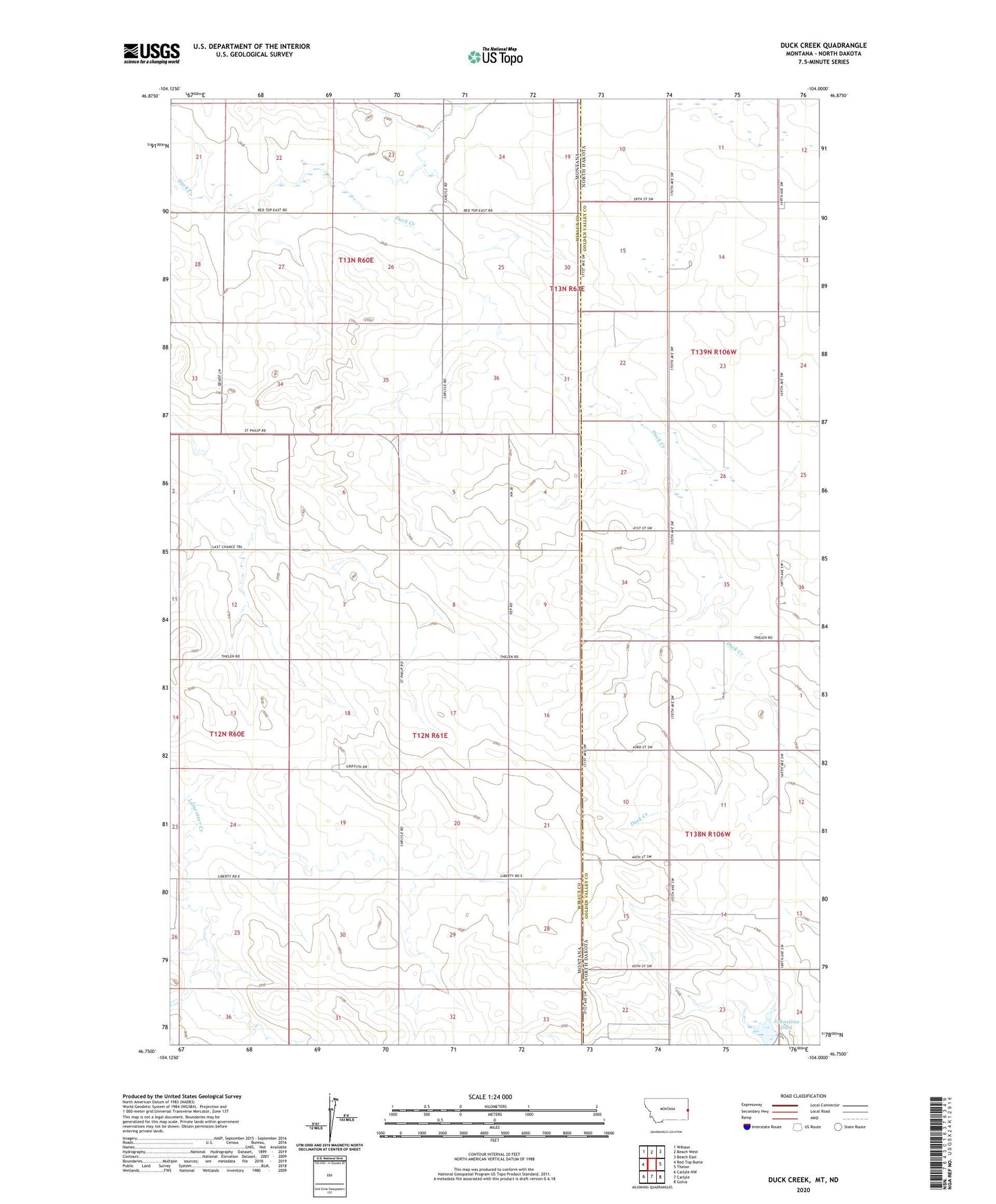
2024 topographic map quadrangle Duck Creek in the states of Montana, North Dakota. Scale: 1:24000. Based on the newly updated USGS 7.5' US Topo map series, this map is in the following counties: Wibaux, Golden Valley. The map contains contour data, water features, and other items you are used to seeing on USGS maps, but also has updated roads and other features. This is the next generation of topographic maps. Printed on high-quality waterproof paper with UV fade-resistant inks.
Quads adjacent to this one:
West: Red Top Butte
Northwest: Wibaux
North: Beach West
Northeast: Beach East
East: Thelan
Southeast: Golva
South: Carlyle
Southwest: Carlyle NW
Contains the following named places: 12N61E08DDD_01 Well, 13N60E24BB__01 Well, 13N61E30AAB_01 Well, 13N61E30ABB_02 Well, Buldhaupt School, Golden Glow Coal Mine, Hollstein Ranch Airport, Johnstone Dam, Larson School, Popeil School, Zielinski School