MyTopo
Coleman Coulee Montana US Topo Map
Couldn't load pickup availability
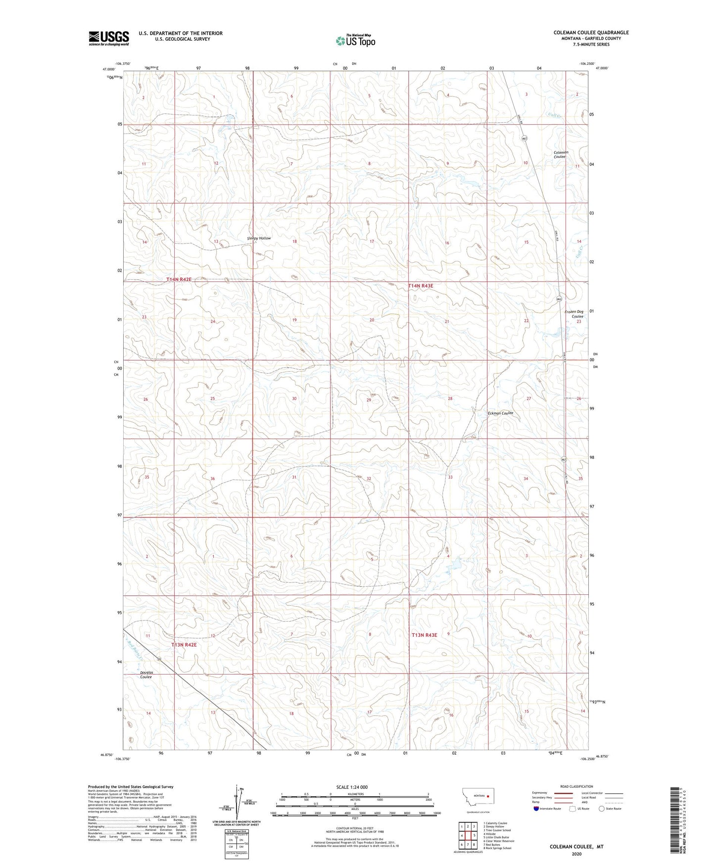
2024 topographic map quadrangle Coleman Coulee in the state of Montana. Scale: 1:24000. Based on the newly updated USGS 7.5' US Topo map series, this map is in the following counties: Garfield. The map contains contour data, water features, and other items you are used to seeing on USGS maps, but also has updated roads and other features. This is the next generation of topographic maps. Printed on high-quality waterproof paper with UV fade-resistant inks.
Quads adjacent to this one:
West: Hillside
Northwest: Calamity Coulee
North: Sleepy Hollow
Northeast: Tree Coulee School
East: Little Chalk Butte
Southeast: Rock Springs School
South: Red Buttes
Southwest: Clear Water Reservoir
This map covers the same area as the classic USGS quad with code o46106h3.
Contains the following named places: Coleman Coulee, Douglas Coulee, Eckman Coulee, Glasscock Reservoir Number 1 Dam, Glasscock Reservoir Number 2 Dam, Taylor Number 2 Dam