MyTopo
Danvers Montana US Topo Map
Couldn't load pickup availability
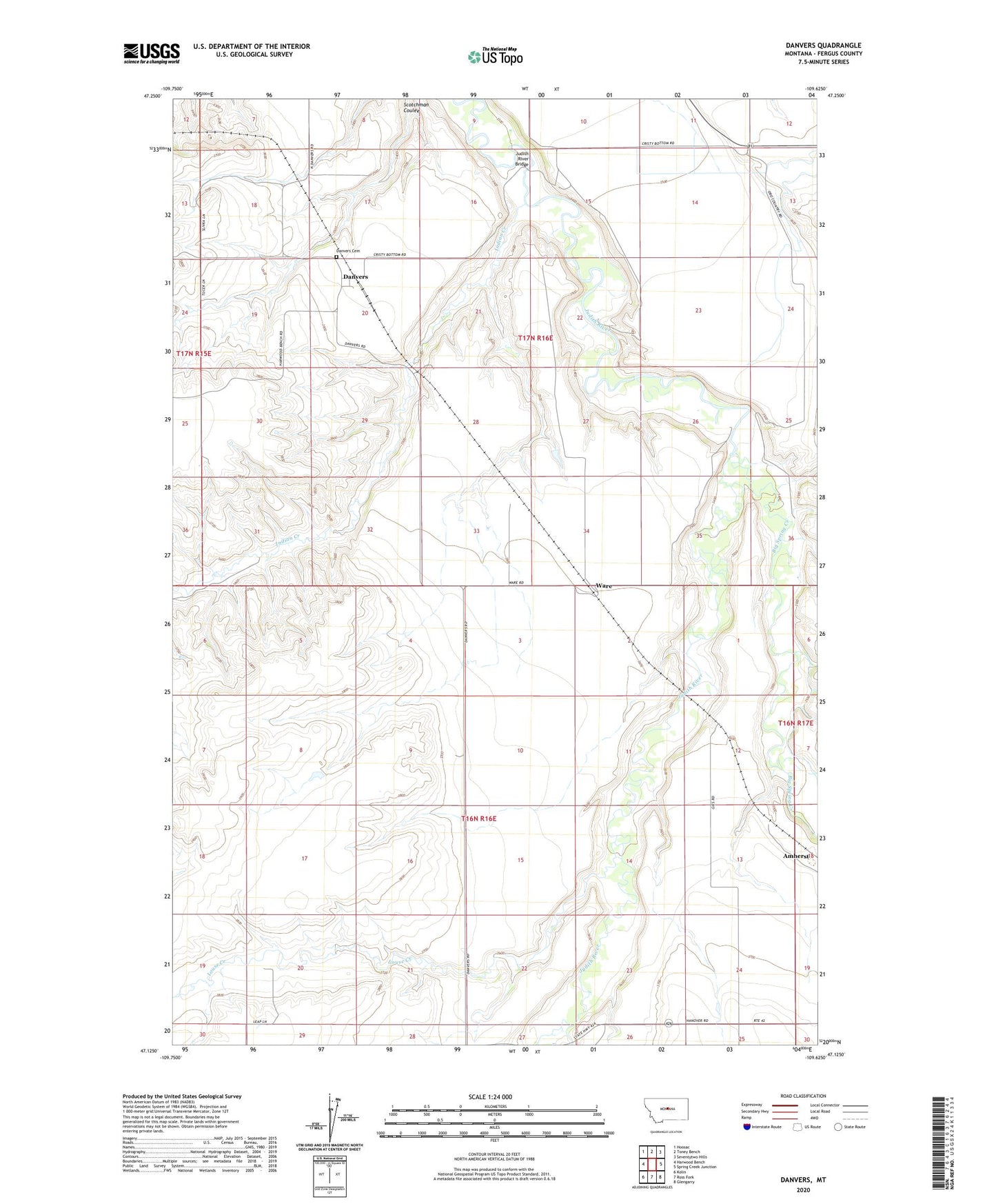
2024 topographic map quadrangle Danvers in the state of Montana. Scale: 1:24000. Based on the newly updated USGS 7.5' US Topo map series, this map is in the following counties: Fergus. The map contains contour data, water features, and other items you are used to seeing on USGS maps, but also has updated roads and other features. This is the next generation of topographic maps. Printed on high-quality waterproof paper with UV fade-resistant inks.
Quads adjacent to this one:
West: Harwood Bench
Northwest: Hoosac
North: Toney Bench
Northeast: Seventytwo Hills
East: Spring Creek Junction
Southeast: Glengarry
South: Ross Fork
Southwest: Kolin
This map covers the same area as the classic USGS quad with code o47109b6.
Contains the following named places: 16N16E07BA__01 Well, Big Spring Creek, Danvers, Danvers Cemetery, Danvers Census Designated Place, Danvers Post Office, Deigratia Dam, Indian Creek, Judith River Bridge, Little Rock Creek, Louse Creek, Louse Creek School, Saint Wenceslaus Church, Ware, Ware Post Office