MyTopo
Figure Eight Creek Montana US Topo Map
Couldn't load pickup availability
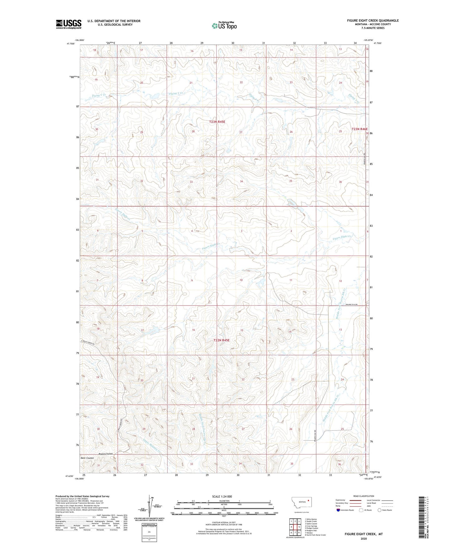
2024 topographic map quadrangle Figure Eight Creek in the state of Montana. Scale: 1:24000. Based on the newly updated USGS 7.5' US Topo map series, this map is in the following counties: McCone. The map contains contour data, water features, and other items you are used to seeing on USGS maps, but also has updated roads and other features. This is the next generation of topographic maps. Printed on high-quality waterproof paper with UV fade-resistant inks.
Quads adjacent to this one:
West: Crow Springs
Northwest: Willis Buttes
North: Shade Creek
Northeast: Sadie Coulee
East: Pedigo Coulee
Southeast: North Fork Horse Creek
South: Weldon
Southwest: Rodgers Hall
This map covers the same area as the classic USGS quad with code o47105f8.
Contains the following named places: 22N45E22DDBB01 Well, 22N45E24ADDB01 Well, 22N45E24ADDB02 Well, 22N45E25ADCB01 Well, 22N45E26DBDD01 Well, 22N45E27AADB01 Well, 22N45E30BADC01 Well, Prairie Elk School