MyTopo
Pedigo Coulee Montana US Topo Map
Couldn't load pickup availability
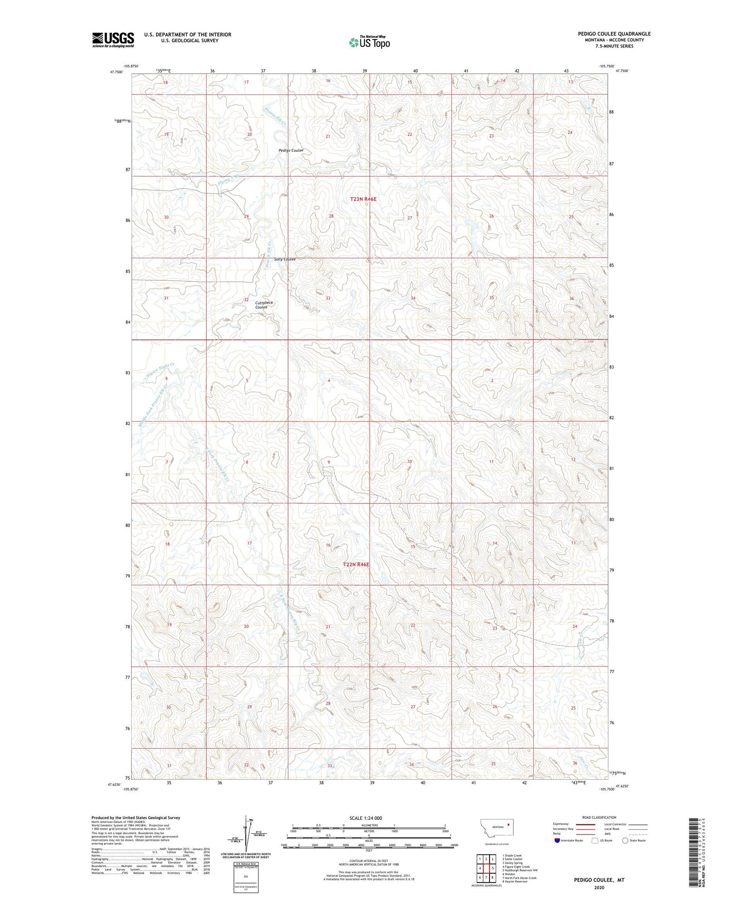
2024 topographic map quadrangle Pedigo Coulee in the state of Montana. Scale: 1:24000. Based on the newly updated USGS 7.5' US Topo map series, this map is in the following counties: McCone. The map contains contour data, water features, and other items you are used to seeing on USGS maps, but also has updated roads and other features. This is the next generation of topographic maps. Printed on high-quality waterproof paper with UV fade-resistant inks.
Quads adjacent to this one:
West: Figure Eight Creek
Northwest: Shade Creek
North: Sadie Coulee
Northeast: Dailey Spring
East: Hudiburgh Reservoir NW
Southeast: Haynie Reservoir
South: North Fork Horse Creek
Southwest: Weldon
This map covers the same area as the classic USGS quad with code o47105f7.
Contains the following named places: 22N46E07ABBD01 Well, 22N46E17BCBB01 Well, 22N46E22AA__01 Well, 22N46E22DDBC01 Well, 22N46E24BAAC01 Well, 22N46E27DDAB01 Well, 22N46E32AB__01 Well, 23N45E24AAAA01 Well, 23N46E18DCCC01 Well, 23N46E23CDDA01 Well, 23N46E27DABD01 Well, Cuttybeck Coulee, East Fork Prairie Elk Creek, Figure Eight Creek, Flying V Creek, McCone County, Middle Fork Prairie Elk Creek, Pedigo Coulee, Slimy Stock Dam, Solly Coulee