MyTopo
North Fork Horse Creek Montana US Topo Map
Couldn't load pickup availability
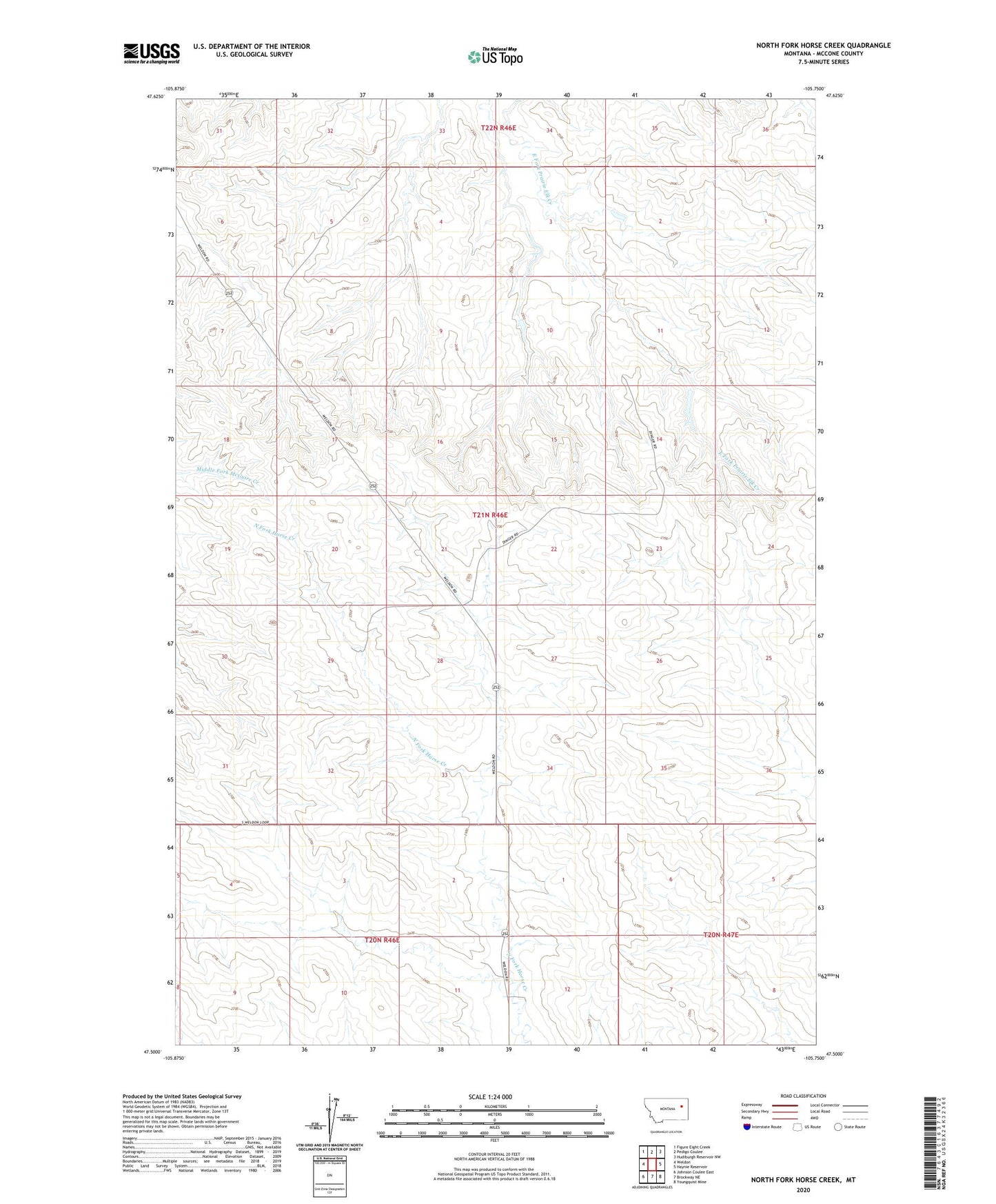
2024 topographic map quadrangle North Fork Horse Creek in the state of Montana. Scale: 1:24000. Based on the newly updated USGS 7.5' US Topo map series, this map is in the following counties: McCone. The map contains contour data, water features, and other items you are used to seeing on USGS maps, but also has updated roads and other features. This is the next generation of topographic maps. Printed on high-quality waterproof paper with UV fade-resistant inks.
Quads adjacent to this one:
West: Weldon
Northwest: Figure Eight Creek
North: Pedigo Coulee
Northeast: Hudiburgh Reservoir NW
East: Haynie Reservoir
Southeast: Youngquist Mine
South: Brockway NE
Southwest: Johnson Coulee East
This map covers the same area as the classic USGS quad with code o47105e7.
Contains the following named places: 20N46E02ADCD01 Well, 20N46E04CACC01 Well, 20N46E09BDDC01 Well, 20N46E11AACC01 Well, 20N46E11ADBC01 Well, 21N46E05AABA01 Well, 21N46E09CDBC01 Well, 21N46E15ADDA01 Well, 21N46E17BCDA01 Well, 21N46E19BCDA01 Well, 21N46E24CDCA01 Well, 21N46E25CAAC01 Well, 21N46E29AACA01 Well, 21N46E29ACDA01 Well, 21N46E29DCCB01 Well, 21N46E30BACC01 Well, 21N46E32CCAA01 Well, 21N46E32CCCC01 Well, 22N46E33DBBD01 Well, 59215, Breitbach Number 1 Dam, Breitbach Number 2 Dam, Breitbach Number 3 Dam, Breitbach Number 4 Dam, Breitbach Number 5 Dam, Breitbach Number 6 Dam, Breitbach Number 7 Dam, Gibbs Number 1 Dam