MyTopo
Frenchtown Montana US Topo Map
Couldn't load pickup availability
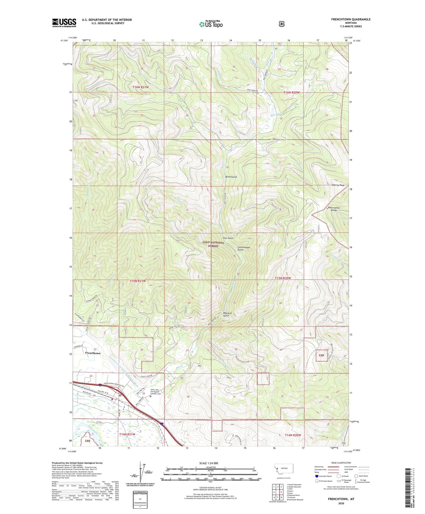
2020 topographic map quadrangle Frenchtown in the state of Montana. Scale: 1:24000. Based on the newly updated USGS 7.5' US Topo map series, this map is in the following counties: Missoula, Sanders. The map contains contour data, water features, and other items you are used to seeing on USGS maps, but also has updated roads and other features. This is the next generation of topographic maps. Printed on high-quality waterproof paper with UV fade-resistant inks.
Quads adjacent to this one:
West: Huson
Northwest: Hewolf Mountain
North: Saddle Mountain
Northeast: Arlee
East: Evaro
Southeast: Northwest Missoula
South: Primrose
Southwest: Diamond Point
Contains the following named places: 14N20W04ADBD01 Well, 14N21W02AA__01 Well, 15N21W25BBBA01 Well, 15N21W25CBBC01 Well, 15N21W25CCBA01 Well, 15N21W27BB__01 Well, 15N21W27CD__01 Well, 15N21W34AD__01 Well, 15N21W34BD__01 Well, 15N21W34BD__02 Well, 15N21W34CB__01 Well, 15N21W34CD__01 Well, 15N21W34DA__01 Well, 15N21W34DA__02 Well, 15N21W34DA__03 Well, 15N21W34DB__01 Well, 15N21W35BD__01 Well, 15N21W35CD__01 Well, 15N21W35CD__02 Well, 17N20W35DBCA01 Well, 59834, Baldwin Ranch, Bear Creek, Blackcat Gulch, Blind Gulch, Burnt Point Creek, Charity Peak, Cottonwood Gulch, Edith Creek, Fern Creek, Fir Creek, Fournier Creek, Frenchtown, Frenchtown Census Designated Place, Frenchtown Community Church, Frenchtown Elementary School, Frenchtown Family Medical Clinic, Frenchtown High School, Frenchtown Irrigation District Ditch, Frenchtown Post Office, Frenchtown Rural Fire District Station 1, Herzog Creek, King Ranch Golf Course, Lion Gulch, Saint John the Baptist Catholic Cemetery, Saint John the Baptist Catholic Church, Spring Creek, The Church of Jesus Christ of Latter Day Saints, Valley of Christ Lutheran Church