MyTopo
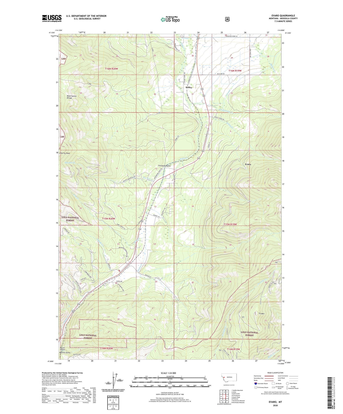
Evaro Montana US Topo Map
Couldn't load pickup availability
Also explore the Evaro Forest Service Topo of this same quad for updated USFS data
2024 topographic map quadrangle Evaro in the state of Montana. Scale: 1:24000. Based on the newly updated USGS 7.5' US Topo map series, this map is in the following counties: Missoula. The map contains contour data, water features, and other items you are used to seeing on USGS maps, but also has updated roads and other features. This is the next generation of topographic maps. Printed on high-quality waterproof paper with UV fade-resistant inks.
Quads adjacent to this one:
West: Frenchtown
Northwest: Saddle Mountain
North: Arlee
Northeast: Gold Creek
East: Stuart Peak
Southeast: Northeast Missoula
South: Northwest Missoula
Southwest: Primrose
This map covers the same area as the classic USGS quad with code o47114a1.
Contains the following named places: 14N20W03AA__01 Well, 15N19W05BBCC01 Well, 15N19W05BCCC01 Well, 15N19W07BCCC01 Well, 15N20W12CAAC01 Well, 15N20W12CAD_01 Well, 15N20W13BABB01 Well, 15N20W13BCCC01 Well, 15N20W13CADA01 Well, 15N20W13CADA02 Well, 15N20W13CADA03 Well, 15N20W13DCAA01 Well, 15N20W23DCAA01 Well, 15N20W24BCCB01 Well, 15N20W26ABC_01 Well, 16N19W30BCCD01 Well, 16N19W30CDBC01 Well, 16N19W30DBA_01 Well, 16N19W31BBBB01 Well, 16N19W31CBA_01 Well, 16N19W31DABB01 Well, 16N19W31DDAB01 Well, Coriacan Defile, East Fork Finley Creek, Evaro, Evaro Census Designated Place, Evaro Post Office, Evaro School, Frenchtown Rural Fire District Station 2, Frog Creek, KECI-TV (Missoula), KPAX-TV (Missoula), KTMF-TV (Missoula), Landon, Marent Gulch, Marent Trestle, N Canal, Schley, Schley Creek, Sim-heh Creek, Snow Park Ski Area, Spruce, TV Mountain