MyTopo
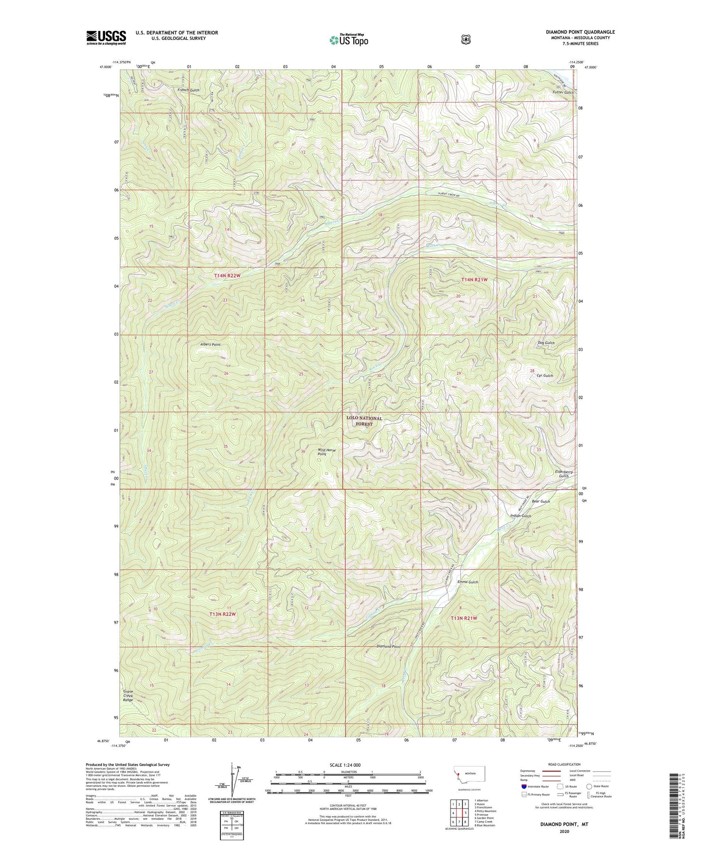
Diamond Point Montana US Topo Map
Couldn't load pickup availability
Also explore the Diamond Point Forest Service Topo of this same quad for updated USFS data
2024 topographic map quadrangle Diamond Point in the state of Montana. Scale: 1:24000. Based on the newly updated USGS 7.5' US Topo map series, this map is in the following counties: Missoula. The map contains contour data, water features, and other items you are used to seeing on USGS maps, but also has updated roads and other features. This is the next generation of topographic maps. Printed on high-quality waterproof paper with UV fade-resistant inks.
Quads adjacent to this one:
West: Petty Mountain
Northwest: Alberton
North: Huson
Northeast: Frenchtown
East: Primrose
Southeast: Blue Mountain
South: Camp Creek
Southwest: Garden Point
This map covers the same area as the classic USGS quad with code o46114h3.
Contains the following named places: Albert Point, Bear Gulch, Diamond Point, Elderberry Gulch, Emma Gulch, Futter Gulch, Gilman, Gilman Creek, Indian Gulch, Wheeler Barite Mine, Wild Horse Point