MyTopo
Gouchnour Ranch Montana US Topo Map
Couldn't load pickup availability
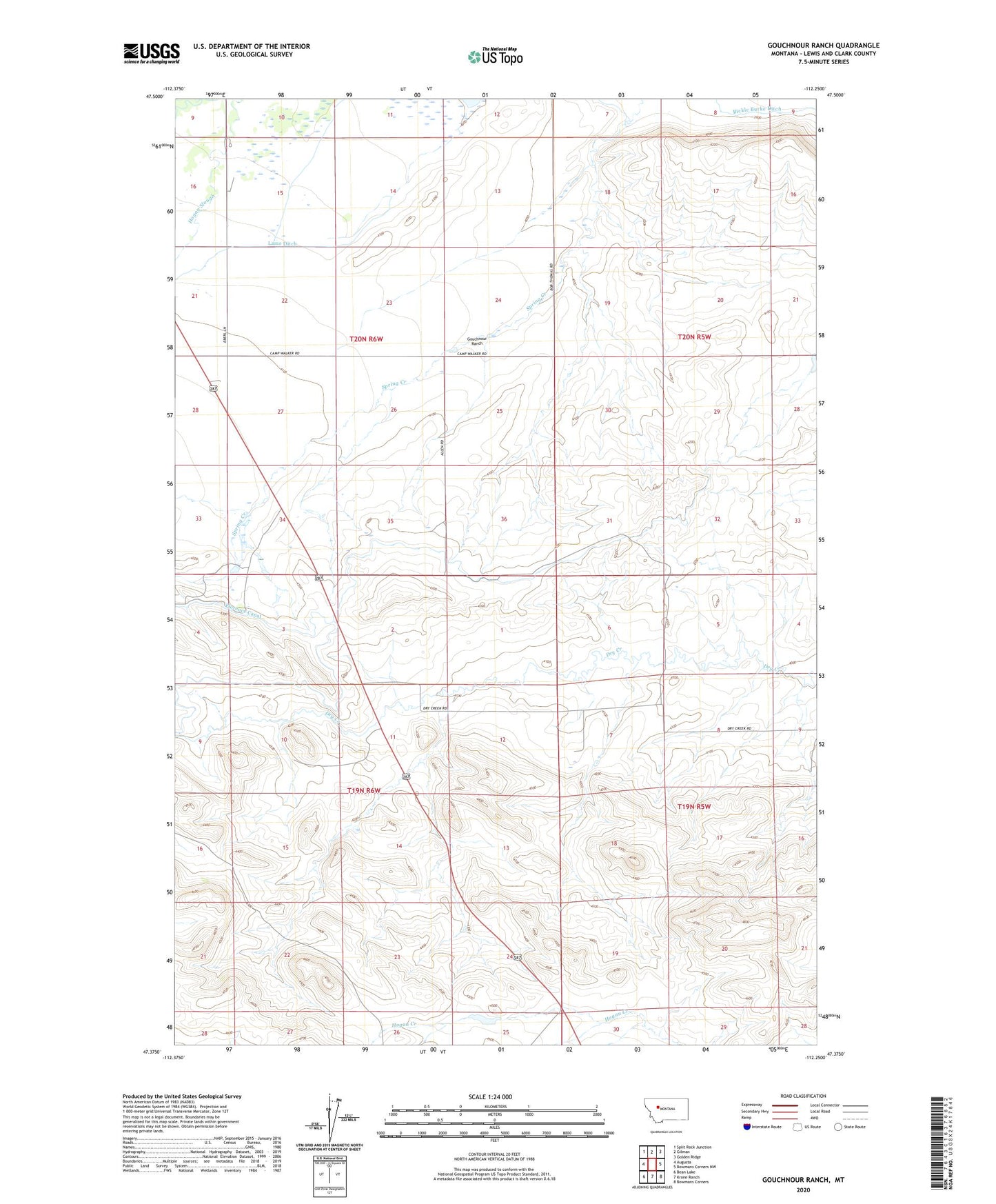
2024 topographic map quadrangle Gouchnour Ranch in the state of Montana. Scale: 1:24000. Based on the newly updated USGS 7.5' US Topo map series, this map is in the following counties: Lewis and Clark. The map contains contour data, water features, and other items you are used to seeing on USGS maps, but also has updated roads and other features. This is the next generation of topographic maps. Printed on high-quality waterproof paper with UV fade-resistant inks.
Quads adjacent to this one:
West: Augusta
Northwest: Split Rock Junction
North: Gilman
Northeast: Golden Ridge
East: Bowmans Corners NW
Southeast: Bowmans Corners
South: Krone Ranch
Southwest: Bean Lake
This map covers the same area as the classic USGS quad with code o47112d3.
Contains the following named places: Detergent Dam, Eberl Ranch, Florence Canal, Gouchnour Ranch, Lame Ditch, Lytle Clemons Ditch