MyTopo
Roy Montana US Topo Map
Couldn't load pickup availability
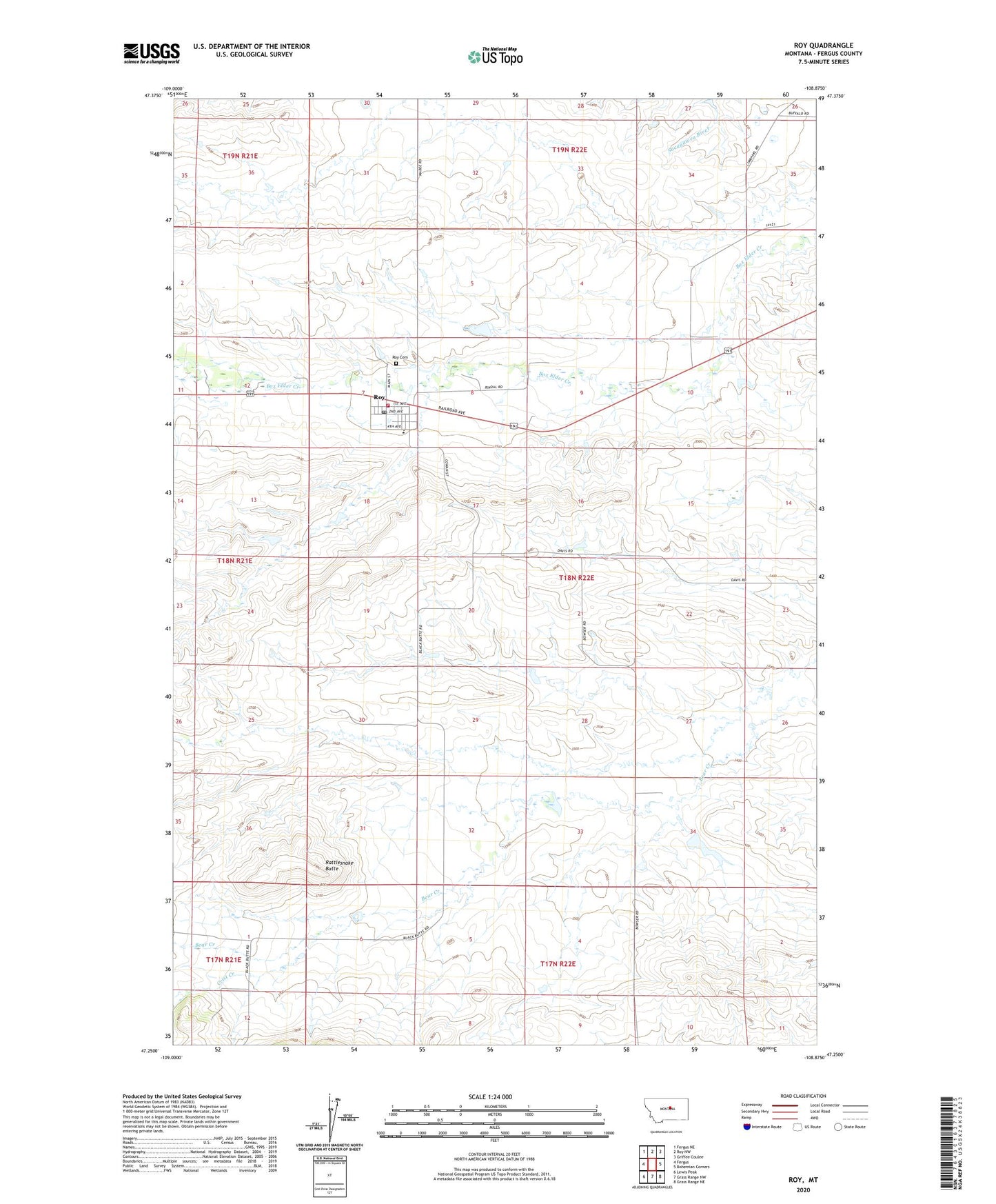
2024 topographic map quadrangle Roy in the state of Montana. Scale: 1:24000. Based on the newly updated USGS 7.5' US Topo map series, this map is in the following counties: Fergus. The map contains contour data, water features, and other items you are used to seeing on USGS maps, but also has updated roads and other features. This is the next generation of topographic maps. Printed on high-quality waterproof paper with UV fade-resistant inks.
Quads adjacent to this one:
West: Fergus
Northwest: Fergus NE
North: Roy NW
Northeast: Griffee Coulee
East: Bohemian Corners
Southeast: Grass Range NE
South: Grass Range NW
Southwest: Lewis Peak
This map covers the same area as the classic USGS quad with code o47108c8.
Contains the following named places: 18N22E27BBD_01 Well, Black Butte School, Box Elder, Crist Creek, First English Lutheran Church, Gordon Dam, O J Rindal Dam, Rattlesnake Butte, Roy, Roy Cemetery, Roy Census Designated Place, Roy City Park, Roy Elementary School, Roy High School, Roy Post Office, Roy Presbyterian Church, Roy Rural Fire Department, Sacred Heart Catholic Church