MyTopo
Grass Range NW Montana US Topo Map
Couldn't load pickup availability
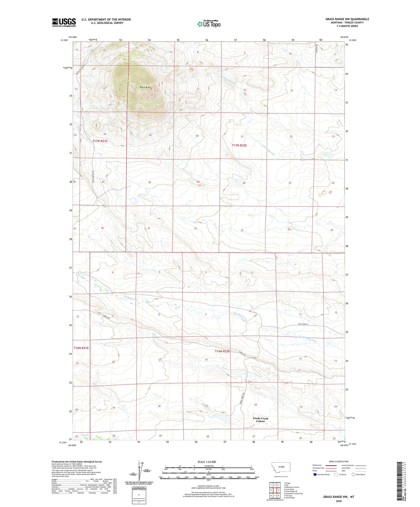
2024 topographic map quadrangle Grass Range NW in the state of Montana. Scale: 1:24000. Based on the newly updated USGS 7.5' US Topo map series, this map is in the following counties: Fergus. The map contains contour data, water features, and other items you are used to seeing on USGS maps, but also has updated roads and other features. This is the next generation of topographic maps. Printed on high-quality waterproof paper with UV fade-resistant inks.
Quads adjacent to this one:
West: Lewis Peak
Northwest: Fergus
North: Roy
Northeast: Bohemian Corners
East: Grass Range NE
Southeast: Grass Range
South: Fish Dam
Southwest: Horsethief Coulee East
Contains the following named places: Alpine School, Black Butte, Edwards Creek, Fords Creek Colony, Fords Creek Colony Census Designated Place, Ruseteun Number 2 Dam, Stebbins School