MyTopo
Griffee Coulee Montana US Topo Map
Couldn't load pickup availability
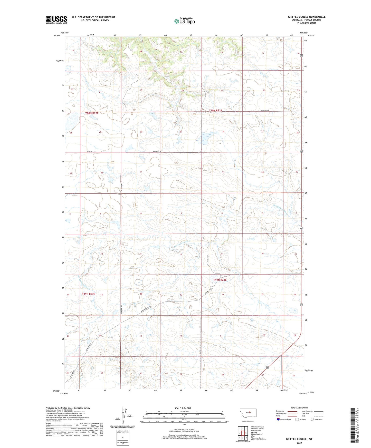
2024 topographic map quadrangle Griffee Coulee in the state of Montana. Scale: 1:24000. Based on the newly updated USGS 7.5' US Topo map series, this map is in the following counties: Fergus. The map contains contour data, water features, and other items you are used to seeing on USGS maps, but also has updated roads and other features. This is the next generation of topographic maps. Printed on high-quality waterproof paper with UV fade-resistant inks.
Quads adjacent to this one:
West: Roy NW
Northwest: Thompson Coulee
North: Mitchell Crossing
Northeast: Hessler Ridge
East: Sloan Reservoir
Southeast: Bear Creek Reservoir
South: Bohemian Corners
Southwest: Roy
This map covers the same area as the classic USGS quad with code o47108d7.
Contains the following named places: 19N23E06BC__01 Well, 20N23E21BBD_01 Well, 59471, Cimrhaki School, Cimrhakl Number 3 Dam, Cimrhakle Number 2 Dam, Coal Hill School, Dexter Coulee, Griffee Coulee, Griffee Ridge, Lazy JD Number 10 Dam, Willmore Dam