MyTopo
Hunter Lake Montana US Topo Map
Couldn't load pickup availability
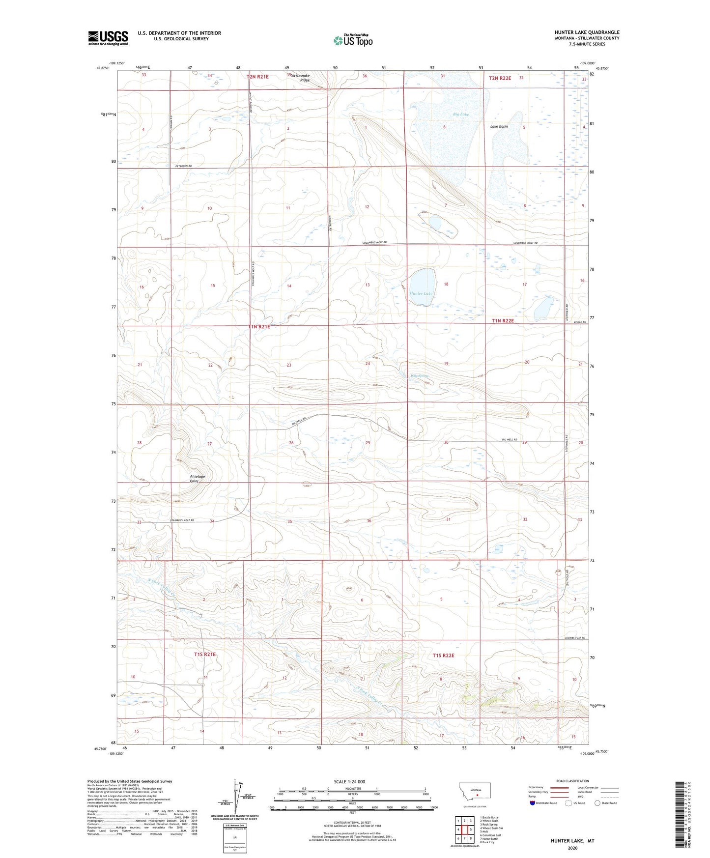
2024 topographic map quadrangle Hunter Lake in the state of Montana. Scale: 1:24000. Based on the newly updated USGS 7.5' US Topo map series, this map is in the following counties: Stillwater. The map contains contour data, water features, and other items you are used to seeing on USGS maps, but also has updated roads and other features. This is the next generation of topographic maps. Printed on high-quality waterproof paper with UV fade-resistant inks.
Quads adjacent to this one:
West: Wheat Basin SW
Northwest: Battle Butte
North: Wheat Basin
Northeast: Rock Spring
East: Molt
Southeast: Park City
South: Horse Butte
Southwest: Columbus East
This map covers the same area as the classic USGS quad with code o45109g1.
Contains the following named places: 01N21E02BCCC01 Well, 01N21E03DABA01 Well, 01N21E14ABBC01 Well, 01N21E22AAAA01 Well, 01N22E07DADA01 Well, 01N22E29AAAC01 Well, 01S21E02CADC01 Well, Antelope Point, Hunter Lake, Leuthold School, Peterson School, Wiig Spring