MyTopo
Kirkendal Flat Montana US Topo Map
Couldn't load pickup availability
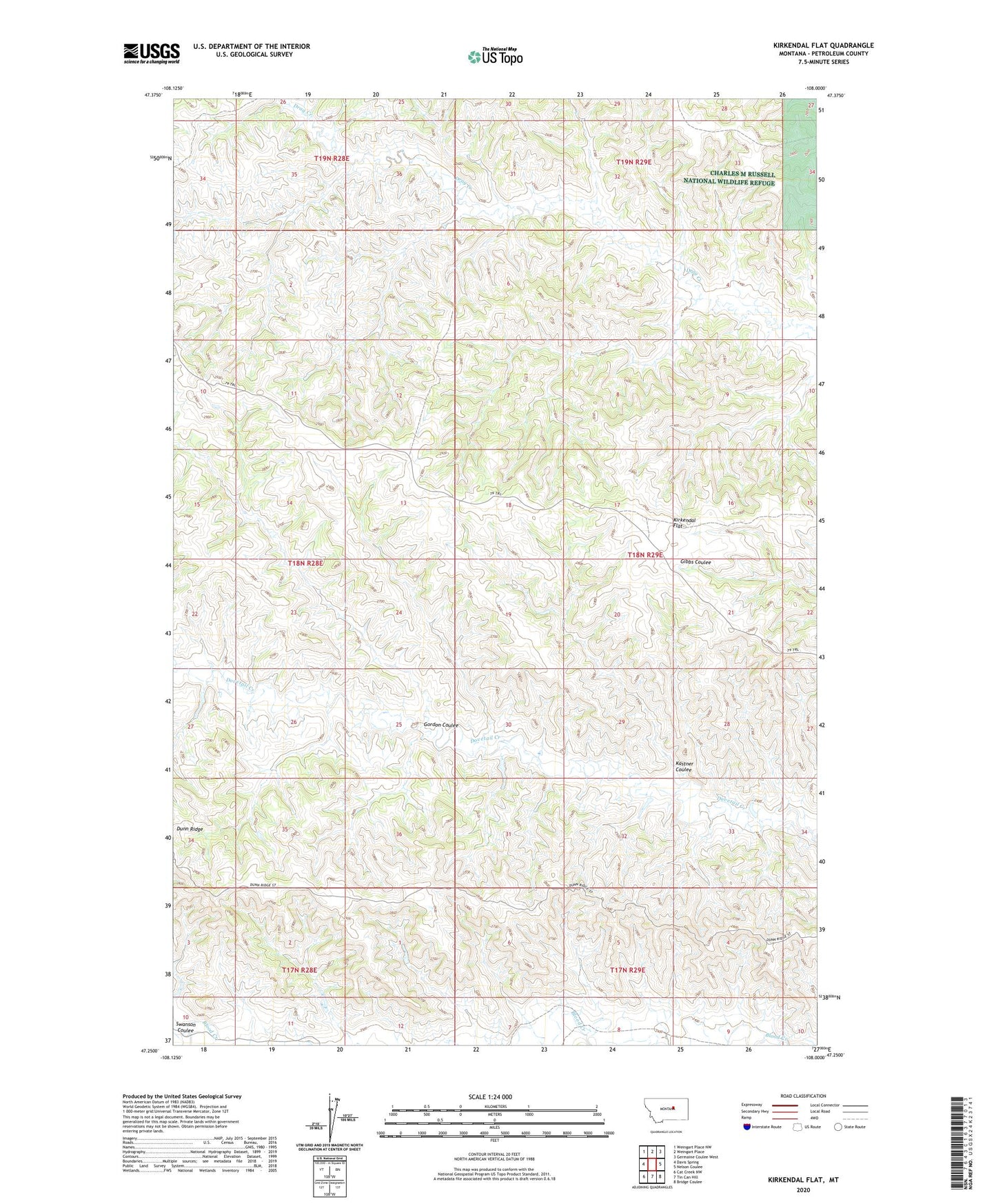
2024 topographic map quadrangle Kirkendal Flat in the state of Montana. Scale: 1:24000. Based on the newly updated USGS 7.5' US Topo map series, this map is in the following counties: Petroleum. The map contains contour data, water features, and other items you are used to seeing on USGS maps, but also has updated roads and other features. This is the next generation of topographic maps. Printed on high-quality waterproof paper with UV fade-resistant inks.
Quads adjacent to this one:
West: Davis Spring
Northwest: Weingart Place NW
North: Weingart Place
Northeast: Germaine Coulee West
East: Nelson Coulee
Southeast: Bridge Coulee
South: Tin Can Hill
Southwest: Cat Creek NW
This map covers the same area as the classic USGS quad with code o47108c1.
Contains the following named places: Gordon Coulee, Kastner Coulee, Kirkendal Flat, Seventy-Nine School, Swanson Coulee