MyTopo
Richey SE Montana US Topo Map
Couldn't load pickup availability
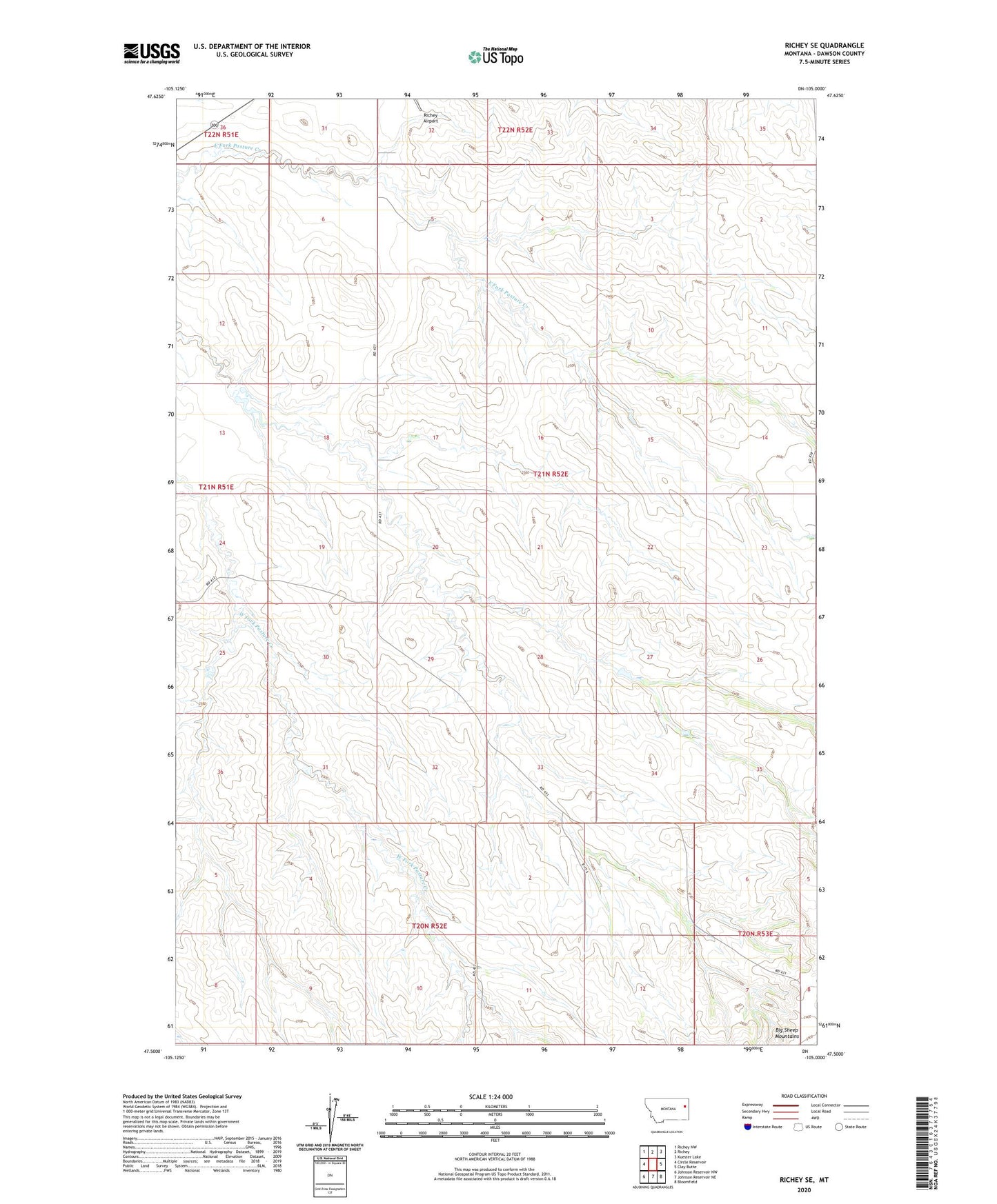
2024 topographic map quadrangle Richey SE in the state of Montana. Scale: 1:24000. Based on the newly updated USGS 7.5' US Topo map series, this map is in the following counties: Dawson. The map contains contour data, water features, and other items you are used to seeing on USGS maps, but also has updated roads and other features. This is the next generation of topographic maps. Printed on high-quality waterproof paper with UV fade-resistant inks.
Quads adjacent to this one:
West: Circle Reservoir
Northwest: Richey NW
North: Richey
Northeast: Kuester Lake
East: Clay Butte
Southeast: Bloomfield
South: Johnson Reservoir NE
Southwest: Johnson Reservoir NW
This map covers the same area as the classic USGS quad with code o47105e1.
Contains the following named places: 20N52E03ADD_01 Well, 20N52E03CAA_01 Well, 20N52E12BAC_01 Well, 21N52E05AAAB01 Well, 21N52E05ACCC01 Well, 21N52E05CAAA01 Well, 21N52E17DA__01 Well, 21N52E17DB__01 Well, 21N52E23ADC_01 Well, 21N52E28DC__01 Well, 21N52E32DA__01 Well, 21N52E33DB__01 Well, Johnstone Pasture Dam, Morningside School