MyTopo
Little Pine Creek Montana US Topo Map
Couldn't load pickup availability
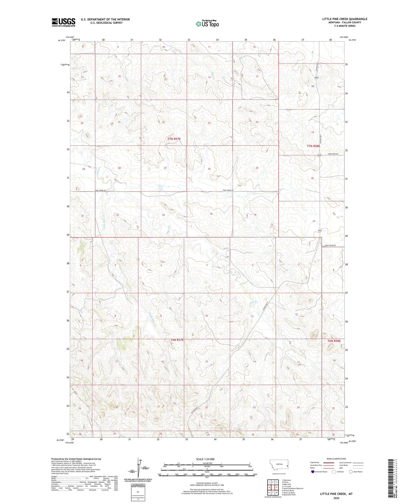
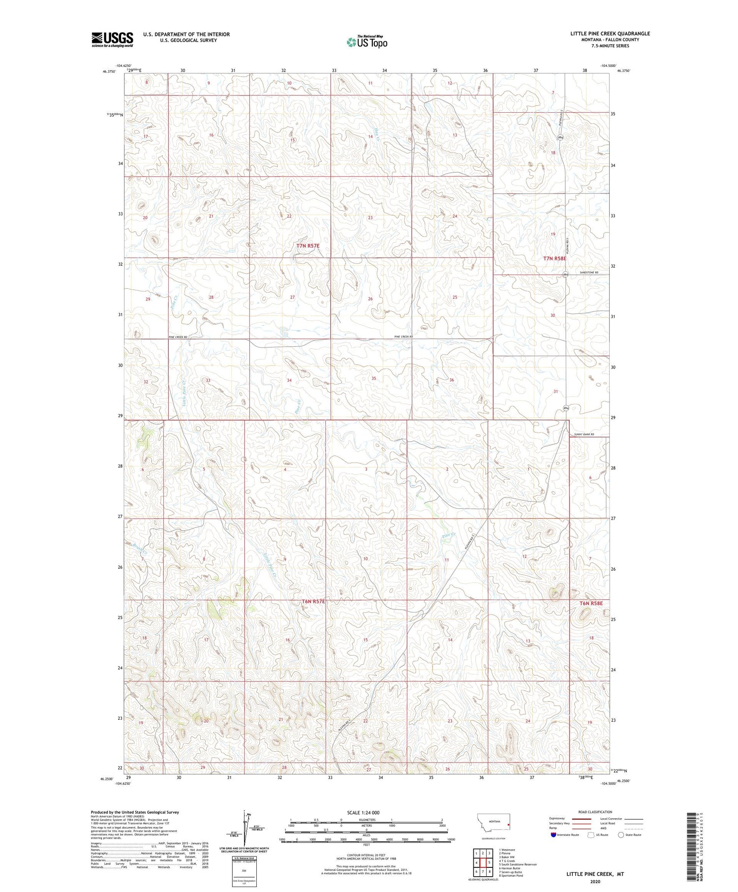
2020 topographic map quadrangle Little Pine Creek in the state of Montana. Scale: 1:24000. Based on the newly updated USGS 7.5' US Topo map series, this map is in the following counties: Fallon. The map contains contour data, water features, and other items you are used to seeing on USGS maps, but also has updated roads and other features. This is the next generation of topographic maps. Printed on high-quality waterproof paper with UV fade-resistant inks.
Quads adjacent to this one:
West: T G Creek
Northwest: Westmore
North: Plevna
Northeast: Baker NW
East: South Sandstone Reservoir
Southeast: Sportsman Pond
South: Seven-up Butte
Southwest: Harmon Butte
Contains the following named places: 06N57E01AB__01 Well, 06N57E03AABC01 Well, 06N57E05DCC_01 Well, 06N57E06AD__01 Well, 06N57E08ACD_01 Well, 06N57E10BC__01 Well, 06N57E10BDBD01 Well, 06N57E12DB__01 Well, 06N57E14BB__01 Well, 06N57E17ABD_01 Well, 06N57E22CBDB01 Well, 07N57E13CC__01 Well, 07N57E16AB__01 Well, 07N57E22DAC_01 Well, 07N57E24BAAA01 Well, 07N57E24BBCB01 Well, 07N58E18DDCB01 Well, 07N58E19BA__01 Well, 07N58E30DB__01 Well, 07N58E31BBBB01 Well, Little Pine Creek, O'Henry Dam