MyTopo
Content NW Montana US Topo Map
Couldn't load pickup availability
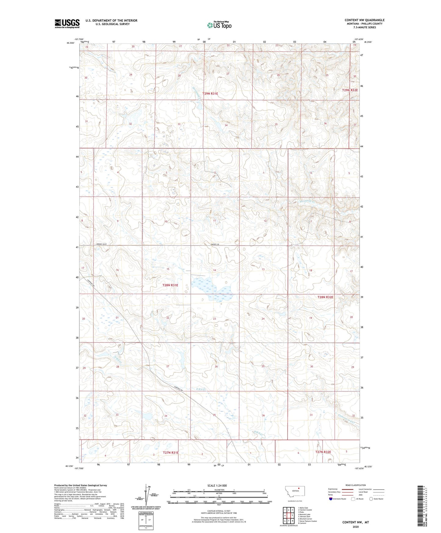
2024 topographic map quadrangle Content NW in the state of Montana. Scale: 1:24000. Based on the newly updated USGS 7.5' US Topo map series, this map is in the following counties: Phillips. The map contains contour data, water features, and other items you are used to seeing on USGS maps, but also has updated roads and other features. This is the next generation of topographic maps. Printed on high-quality waterproof paper with UV fade-resistant inks.
Quads adjacent to this one:
West: Bennett Lake
Northwest: Malta East
North: Clanton Coulee
Northeast: Pinks
East: Johnson Dam
Southeast: Content
South: Horse Pasture Coulee
Southwest: Mitchell Corner
This map covers the same area as the classic USGS quad with code o48107b6.
Contains the following named places: Edgren School, Gunhus School, Pleasant View School, Raymond Dam, Tillman Number 1 Dam, Tillman Number 2 Dam