MyTopo
McKerlich Creek Montana US Topo Map
Couldn't load pickup availability
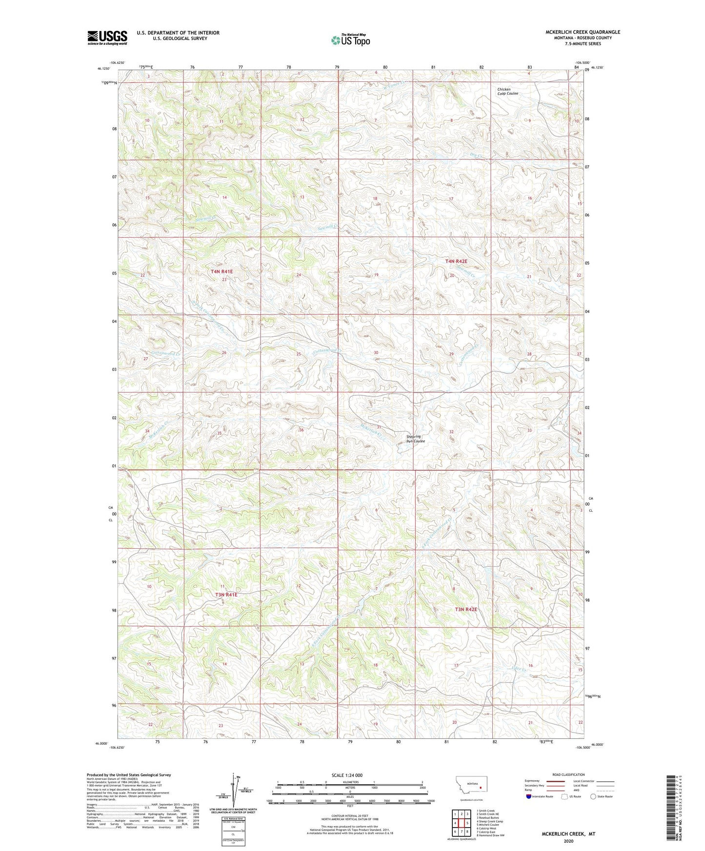
2024 topographic map quadrangle McKerlich Creek in the state of Montana. Scale: 1:24000. Based on the newly updated USGS 7.5' US Topo map series, this map is in the following counties: Rosebud. The map contains contour data, water features, and other items you are used to seeing on USGS maps, but also has updated roads and other features. This is the next generation of topographic maps. Printed on high-quality waterproof paper with UV fade-resistant inks.
Quads adjacent to this one:
West: Sheep Creek Camp
Northwest: Smith Creek
North: Smith Creek NE
Northeast: Rosebud Buttes
East: Mitchell Coulee
Southeast: Hammond Draw NW
South: Colstrip East
Southwest: Colstrip West
This map covers the same area as the classic USGS quad with code o46106a5.
Contains the following named places: East Armells Creek School, McKerlich Creek, McKerlick School, North Fork Cottonwood Creek, Sand Number 2 Dam, Shearing Pen Coulee, South Fork Cottonwood Creek, Vassaus Number 11 Dam, Vassaus Number 4 Dam