
MyTopo
Miller Creek SW Montana US Topo Map
Couldn't load pickup availability
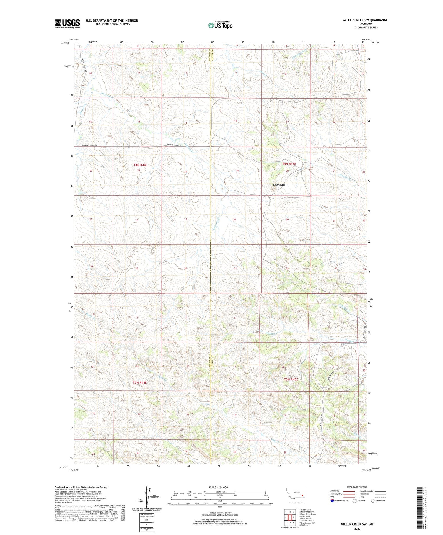
2020 topographic map quadrangle Miller Creek SW in the state of Montana. Scale: 1:24000. Based on the newly updated USGS 7.5' US Topo map series, this map is in the following counties: Custer, Rosebud. The map contains contour data, water features, and other items you are used to seeing on USGS maps, but also has updated roads and other features. This is the next generation of topographic maps. Printed on high-quality waterproof paper with UV fade-resistant inks.
Quads adjacent to this one:
West: Crain Place
Northwest: Indian Creek
North: Miller Creek NW
Northeast: Moon Creek School
East: Miller Creek
Southeast: S H School
South: Brandenberg NW
Southwest: John Hen Creek
Contains the following named places: 03N44E01CACA01 Well, 03N44E02DBAA01 Well, 03N44E24ACAC01 Well, 03N44E24ACAC02 Well, 03N44E24ACAC03 Well, 03N44E24BBAA01 Well, 04N44E23ADCC01 Well, 04N44E24BADA01 Well, 04N44E24BBAB01 Well, 04N44E36AABA01 Well, Baldy Butte, Bell Creek, Douglas School


