MyTopo
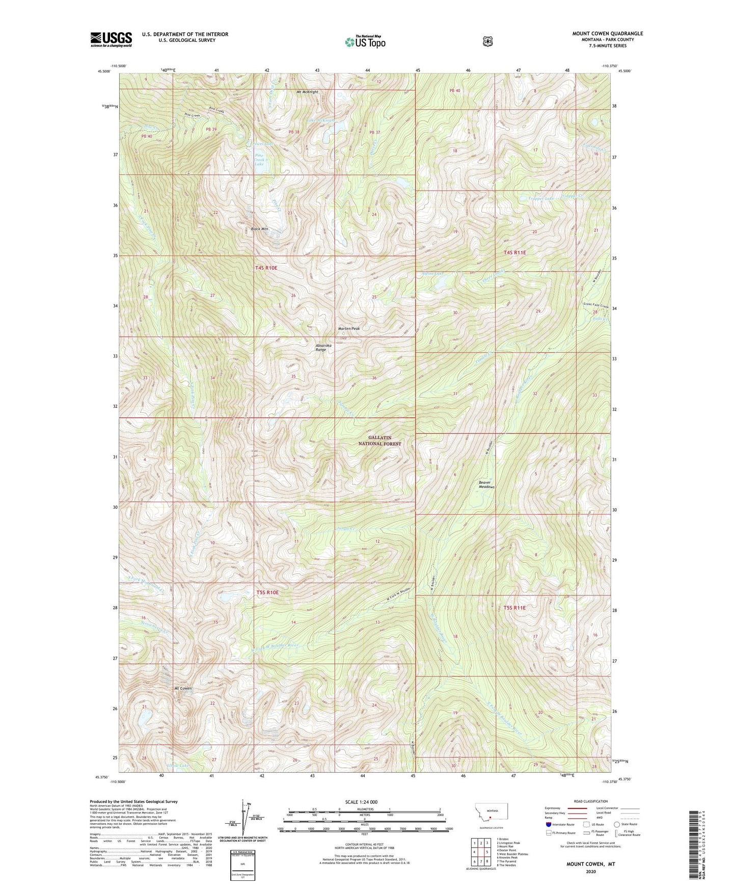
Mount Cowen Montana US Topo Map
Couldn't load pickup availability
Also explore the Mount Cowen Forest Service Topo of this same quad for updated USFS data
2024 topographic map quadrangle Mount Cowen in the state of Montana. Scale: 1:24000. Based on the newly updated USGS 7.5' US Topo map series, this map is in the following counties: Park. The map contains contour data, water features, and other items you are used to seeing on USGS maps, but also has updated roads and other features. This is the next generation of topographic maps. Printed on high-quality waterproof paper with UV fade-resistant inks.
Quads adjacent to this one:
West: Dexter Point
Northwest: Brisbin
North: Livingston Peak
Northeast: Mount Rae
East: West Boulder Plateau
Southeast: The Needles
South: The Pyramid
Southwest: Knowles Peak
This map covers the same area as the classic USGS quad with code o45110d4.
Contains the following named places: Alpine Lake, Beaver Meadows, Black Mountain, East Fork West Boulder River, Falls Creek, Jewel Lake, Jungle Creek, Lake McKnight, Marten Peak, Mount Cowen, Mount McKnight, Pine Creek Lake, Three Creeks, Trapper Lake, Tumble Creek, West Fork West Boulder River