MyTopo
The Pyramid Montana US Topo Map
Couldn't load pickup availability
Also explore the The Pyramid Forest Service Topo of this same quad for updated USFS data
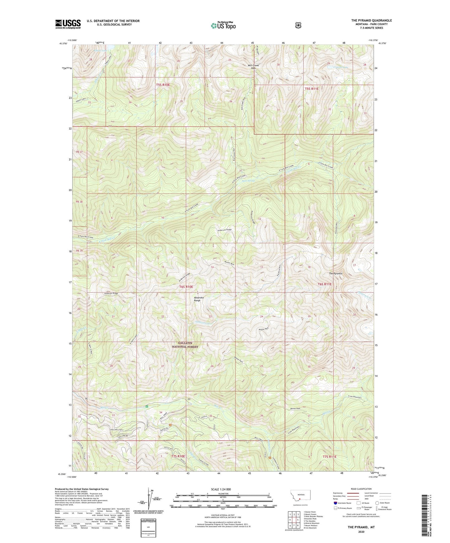
2024 topographic map quadrangle The Pyramid in the state of Montana. Scale: 1:24000. Based on the newly updated USGS 7.5' US Topo map series, this map is in the following counties: Park. The map contains contour data, water features, and other items you are used to seeing on USGS maps, but also has updated roads and other features. This is the next generation of topographic maps. Printed on high-quality waterproof paper with UV fade-resistant inks.
Quads adjacent to this one:
West: Knowles Peak
Northwest: Dexter Point
North: Mount Cowen
Northeast: West Boulder Plateau
East: The Needles
Southeast: Iron Mountain
South: Mount Wallace
Southwest: Mineral Mountain
This map covers the same area as the classic USGS quad with code o45110c4.
Contains the following named places: Agate Springs, Anderson Creek, Colley Creek, Crystal Lake, Elbow Lake, End Lookout, Lambert Creek, Mill Creek Pass, Pyramid Trail, Sidehill Trail, The Pyramid, Wallace Creek Trail