MyTopo
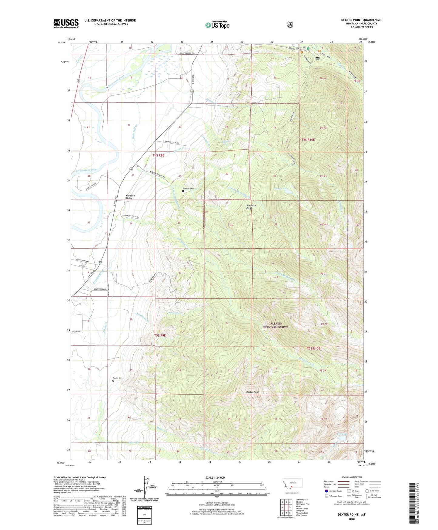
Dexter Point Montana US Topo Map
Couldn't load pickup availability
Also explore the Dexter Point Forest Service Topo of this same quad for updated USFS data
2024 topographic map quadrangle Dexter Point in the state of Montana. Scale: 1:24000. Based on the newly updated USGS 7.5' US Topo map series, this map is in the following counties: Park. The map contains contour data, water features, and other items you are used to seeing on USGS maps, but also has updated roads and other features. This is the next generation of topographic maps. Printed on high-quality waterproof paper with UV fade-resistant inks.
Quads adjacent to this one:
West: Pray
Northwest: Chimney Rock
North: Brisbin
Northeast: Livingston Peak
East: Mount Cowen
Southeast: The Pyramid
South: Knowles Peak
Southwest: Emigrant
This map covers the same area as the classic USGS quad with code o45110d5.
Contains the following named places: Barney Creek, Cascade Creek, Cascade Falls, Dexter Point, Elbow Creek, Fire Lake, George Creek, George Lake, Johnson Creek, Kauffman Creek, Lillie Dutton Memorial Chapel, Livingston Division, Loch Leven Campground, Loch Leven Fishing Access Site, Loch Leven Recreational Area, Luccock Park Assembly Grounds, Magee Cemetery, Magee Creek, Mallards Rest Campground, Mallards Rest Fishing Access Site, Mallards Rest Recreational Area, McDonald Creek, North Fork Elbow Creek, North Fork McDonald Creek, Paradise Canal, Paradise Valley Community Church, Park County, Pine Creek Campground, Pine Creek Recreation Area, Rosedale School, Shorthill Cemetery, South Fork McDonald Creek, South Fork Pine Creek, Strawberry Creek, Trail Creek