MyTopo
Nelson Island Montana US Topo Map
Couldn't load pickup availability
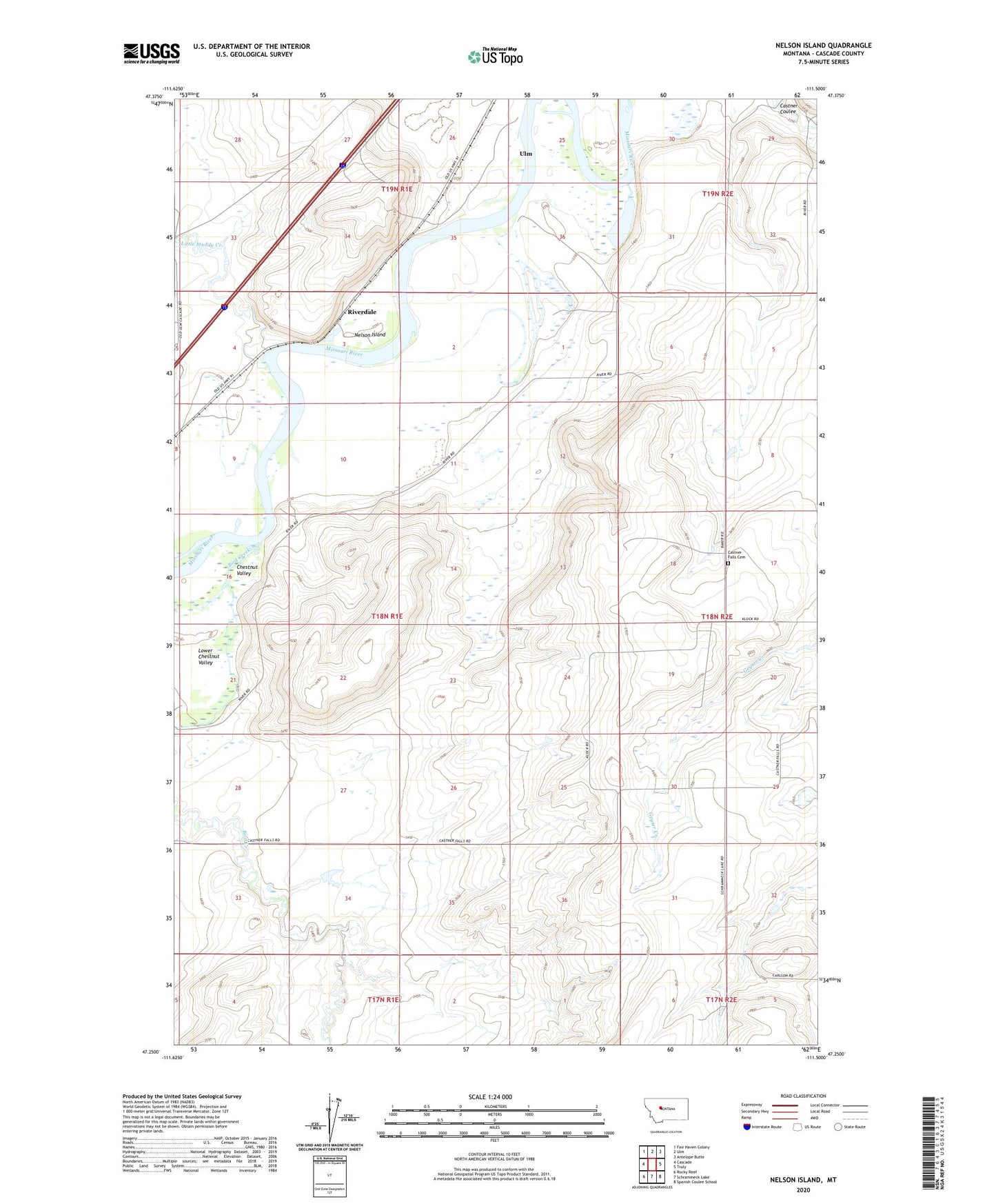
2024 topographic map quadrangle Nelson Island in the state of Montana. Scale: 1:24000. Based on the newly updated USGS 7.5' US Topo map series, this map is in the following counties: Cascade. The map contains contour data, water features, and other items you are used to seeing on USGS maps, but also has updated roads and other features. This is the next generation of topographic maps. Printed on high-quality waterproof paper with UV fade-resistant inks.
Quads adjacent to this one:
West: Cascade
Northwest: Fair Haven Colony
North: Ulm
Northeast: Antelope Butte
East: Truly
Southeast: Spanish Coulee School
South: Schrammeck Lake
Southwest: Rocky Reef
This map covers the same area as the classic USGS quad with code o47111c5.
Contains the following named places: 17N01E02A___01 Spring, 17N02E05A___01 Well, 17N02E06A___01 Well, 18N01E01A___01 Well, 18N01E01B___01 Well, 18N01E01C___01 Well, 18N01E10C___01 Well, 18N01E10C___02 Well, 18N01E10D___01 Spring, 18N01E11C___01 Spring, 18N01E11D___01 Well, 18N01E13A___01 Well, 18N01E13A___02 Well, 18N01E15B___01 Spring, 18N01E22D___01 Well, 18N01E23A___01 Well, 18N01E24____01 Well, 18N01E24A___01 Well, 18N01E24B___01 Well, 18N01E24D___01 Well, 18N01E26D___01 Well, 18N01E27C___01 Well, 18N01E27C___02 Well, 18N02E05B___01 Well, 18N02E05C___01 Well, 18N02E06____01 Well, 18N02E06C___01 Well, 18N02E07____01 Well, 18N02E08____01 Well, 18N02E17____01 Well, 18N02E17____02 Well, 18N02E17____03 Well, 18N02E17____04 Well, 18N02E17D___01 Well, 18N02E17D___02 Well, 18N02E18____01 Well, 18N02E18A___01 Well, 18N02E19C___01 Spring, 18N02E19D___01 Well, 18N02E20C___01 Well, 18N02E20C___02 Well, 18N02E20C___03 Well, 18N02E20C___04 Well, 18N02E29A___01 Well, 18N02E29A___02 Well, 18N02E29C___01 Well, 18N02E29D___01 Spring, 18N02E31A___01 Spring, 18N02E32D___01 Well, 18N02E32D___02 Well, 19N01E27D___01 Well, 19N01E27D___02 Well, 19N01E27DADA01 Well, 19N01E33B___01 Well, 19N01E33B___02 Well, 19N01E34A___01 Spring, 19N01E35B___01 Well, 19N01E36B___01 Well, 19N01E36B___02 Well, 19N02E29____01 Well, 19N02E29____02 Well, 19N02E30B___01 Well, Anderson School, Bird Creek, Castner Falls Cemetery, Chestnut Valley, Gallaher Number 2 Dam, Little Muddy Creek, Lockray School, Missouri Bird Dam, Nelson Island, Riverdale, Travis School