MyTopo
Ulm Montana US Topo Map
Couldn't load pickup availability
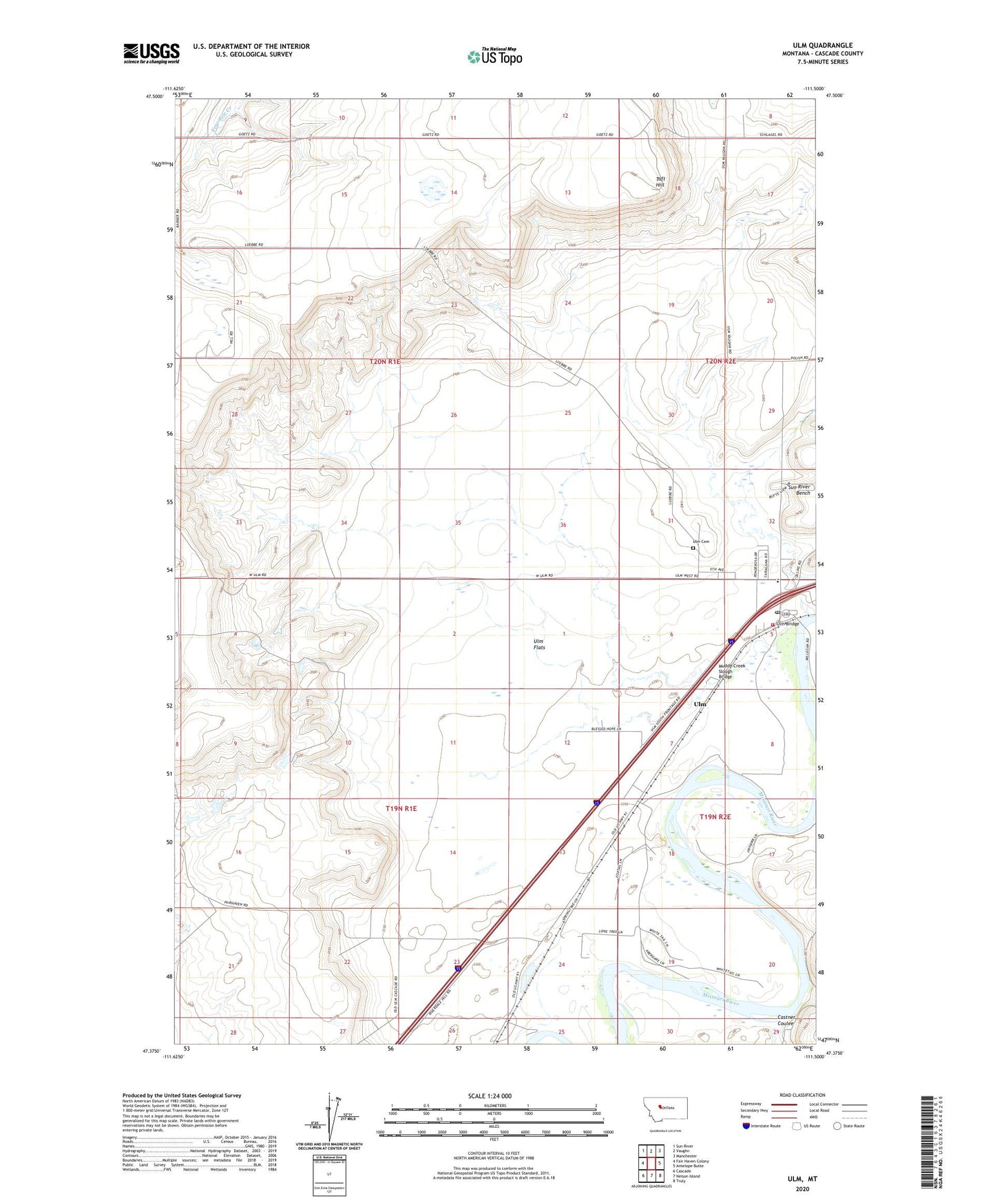
2024 topographic map quadrangle Ulm in the state of Montana. Scale: 1:24000. Based on the newly updated USGS 7.5' US Topo map series, this map is in the following counties: Cascade. The map contains contour data, water features, and other items you are used to seeing on USGS maps, but also has updated roads and other features. This is the next generation of topographic maps. Printed on high-quality waterproof paper with UV fade-resistant inks.
Quads adjacent to this one:
West: Fair Haven Colony
Northwest: Sun River
North: Vaughn
Northeast: Manchester
East: Antelope Butte
Southeast: Truly
South: Nelson Island
Southwest: Cascade
This map covers the same area as the classic USGS quad with code o47111d5.
Contains the following named places: 19N01E01A___01 Well, 19N01E03C___01 Well, 19N01E03C___02 Spring, 19N01E15D___01 Well, 19N01E21B___01 Well, 19N01E23B___01 Well, 19N01E23BACB01 Well, 19N02E05A___01 Well, 19N02E05ABAA01 Well, 19N02E05ACAA01 Well, 19N02E05ACBB01 Well, 19N02E05ACBB02 Well, 19N02E05ACBC01 Well, 19N02E06A___01 Well, 19N02E07C___01 Well, 19N02E30AAAA01 Well, 20N01E14____01 Well, 20N01E14____02 Well, 20N01E34A___01 Well, 20N02E19____01 Well, 20N02E20CDDD01 Well, 20N02E29____01 Well, 20N02E29A___01 Well, 20N02E29D___01 Well, 20N02E29D___02 Well, 20N02E29D___03 Well, 20N02E29D___04 Well, 20N02E29D___05 Well, 59485, Castner Coulee, Charles Russell School, Dry Fork Fairhaven Number 2 Dam, Dunes Fishing Access Site, First Peoples Buffalo Jump State Park, Garrison, Muddy Creek Slough Bridge, Nelsons Gulch, Pearce, Riverdale School, Sunny Bueno Dam, Superior School, Taft Hill, Ulm, Ulm Bible Church, Ulm Bridge, Ulm Cemetery, Ulm Census Designated Place, Ulm Flats, Ulm Post Office, Ulm Railroad Station, Ulm School, Ulm Volunteer Fire Company, W C Eustance Number 1 Dam